
California Company, Firemaps, Using Drone Based Technology to Help Harden Properties Against Wildfires
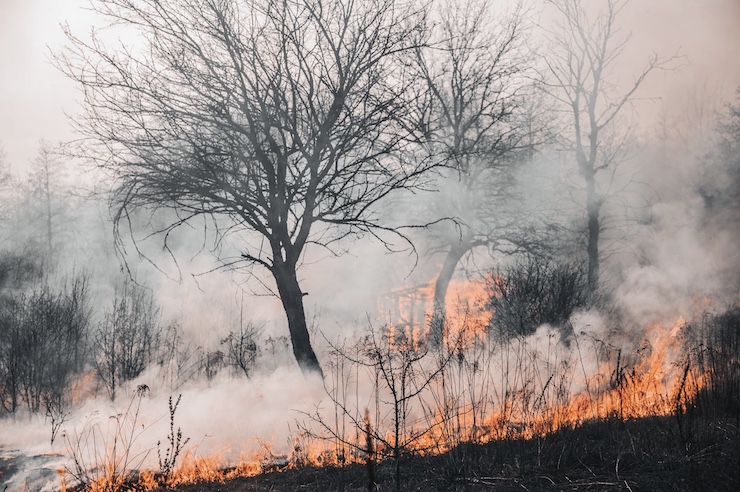
It’s hard to understand how some people still don’t believe that global warming is a real thing that we need to address immediately. Over the last few years, wildfire seasons around the world have gotten out of control. The massive fires like the 2019 Amazon Rainforest Fire, the 2019-2020 Australian Black Summer, and most recently, the ongoing California Caldor fire, are all direct results of climate change.
With the surge in wildfires around the world, new technologies have stepped in to try and ease the burden and develop better fire prediction models. Drones have become essential tools in dealing with wildfires. They are being used to apply fire retardant chemicals, initiate controlled burns, search for trapped victims, and assess damage. Recently drones have been used to study weather patterns to understand how wildfires start, how they progress, and what can be done to predict and control them.
In March of 2021, a team of entrepreneurs, fire officials, fire modelers, and construction professionals from San Fransisco, California, founded Firemaps, a company that uses drone based technology to help harden properties against wildfires. For anyone living in wildfire prone regions, like California, hardening is a common practice. It means to prepare your home to be defended from fires as best as possible. This includes having a fire retardant roof, ember resistant vents, and cleared vegetation. But as wildfires have increased in severity, many homeowners have learned the hard way that their homes are not as prepared as they could be.
Firemaps has certified drone pilots that come to a property to do a property survey. The drone captures images of any structures and the surrounding grounds. Detailed images of vulnerable spots like roofs, gutters, decks, and vents are taken as well. The drone images are then compiled into an interactive 3D map that can expose any vulnerabilities. Next, Firemaps provides the customer with a list of contractors to discuss hardening procedures. The contractors have instant access to the drone developed map and can communicate a plan of action with the customer without ever having to come out to the property.
This saves the homeowners and contractors time and money, an aspect that allows Firemaps to offer their drone services completely free of charge. The company instead gets a portion of the contractor fee. After being open for less than 6 months, the company’s business model proved very attractive. Firemaps received a $5.5million seed investment from Andrew Chen, the general partner at Andreessen Horowitz. “Firemaps is building a critical marketplace to empower homeowners to take meaningful action to address urgent climate risks,” said Chen. “The Firemaps team is well-equipped to scale their offering into new markets and other climate change problems, such as flooding and storm reinforcements, and I’m optimistic about the impact their technology will have.” Climate change is not something that can be ignored. Luckily technology like drones is providing us with the equipment needed to address such global issues.
|