
Drones Used to Monitor Kilauea Volcano
Drones have been proven to be useful not only as a tool for recording fun moments and film making, but also as a research tool that is helping scientists understand some of the unsolved mysteries in science. Due to their size and ability to be controlled remotely, drones can be used to capture images, footage, and other types of data from areas that were previously inaccessible.
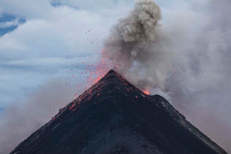
A good example is the ocean drones that are being used to monitor Kilauea, a volcano on Hawaii’s Big Island which is currently highly active. Two Wave Gliders were deployed by Liquid Robotics to capture live ocean data in the area close to where the lava is flowing into the ocean. In the past, ocean drones have been used rarely to observe such volcanic activity. Their use offers scientists a new way to observe the effects of the lava entering the water in real time, the plume it creates, and how the lava interacts with the sea water.
Over a three week period, the Wave Gliders will operate a well-defined course, approximately 984 feet from the lava flow plume collecting atmospheric, surface, and subsurface data. The research is being conducted by The US Geological Survey in collaboration with researchers from MIT and the University of Hawaii at Hilo. The ocean drones were fitted with a wide assortment of sensors to measure oxygen levels, water temperatures, pH levels, turbidity, salinity, underwater acoustics, and conductivity. With the help of the Wave Gliders, scientists hope to find out how far and how deep the plume extends, and how changes in oceanographic conditions and lava flow affect it.
The first Wave Glider recorded surface water temperatures above 49oC after arriving at the lava flow location. While no human can survive such conditions, this was no problem for the ocean drones. Over 650 homes have been completely destroyed by lava, and molten rock is now covering over 6,000 acres. The Captain of Port Honolulu issued a Final Rule to establish a permanent Safety Zone for the waters surrounding the entry point of lava from the Kiluaea volcano into the Pacific Ocean. It encompasses all waters and extends 300 meters in all the directions around any entry points of lava into the ocean.
Hawaii is just one of the many areas where drones can be used to get scientists closer to the action. The drones help scientists understand the volcano and its effect on its surroundings, which ultimately helps them come up with better coping mechanisms to help the people of Hawaii and other regions affected by volcanoes.
|