
Scientists Use Underwater Drones to Monitor and Track Different Kind of Plankton Floating In the Ocean
There are close to 11,000 different types of plankton floating through the oceans. These tiny organisms are vital to the survival of our planet. They generate half of the oxygen in our atmosphere each year and are the building blocks of the marine food chain. By studying individual specimens there is much that scientists have learned. Since their classification, plankton has been thought to be too small to be able to swim through the water. Rather they just haplessly float about. The word plankton comes from the Greek term for wandering or drifting. In the late 1990s, a biological oceanographer from the Scripps Institution of Oceanography in San Diego, Peter Franks, hypothesized that the movements of plankton had to be more than just randomly drifting in the ocean. If there was no formula for how plankton traveled through the currents they would not be able to reproduce.
Peter’s thinking was that even though most plankton don’t have cognitive abilities, they instinctively know to interact with the slow moving internal waves that are about 3ft below the ocean surface. This interaction would allow the plankton to breed, feed, and survive. Unfortunately, the technology to test Peter’s theory didn’t exist at the time. Fortunately, as a member of one of the oldest and most respected oceanic centers, Peter had access to the right problem solvers. Peter contacted Jules Jaffe who established the Jaffe Laboratory for Underwater Imaging, a branch of the Marine Physical Laboratory at Scripps. In his lab, Jules designs technological equipment for observing ocean phenomena, such as the optical system that was used in 1985 to examine the Titanic.
Peter posed a very unique challenge to Jules. He wanted a way to be able to observe plankton in it’s natural habitat. He wanted more than just photographic research or biological samples. Peter wanted to see how plankton interacts with and is affected by ocean currents. For Jules, this meant creating a device that could mimic the behaviors of plankton. What he came up with was the idea of using a swarm of drones that could autonomously maintain a depth and flow of a swarm of plankton. After going through hundreds of drone prototypes Jules came up with a device that could float freely, adjust its buoyancy, and record and transmit data in real time, creating a 3-D map of plankton behavior.
Underwater drones are not entirely new research tools. But what greatly sets apart these Autonomous Underwater Explorers (M-AUEs) is that they are far less expensive, much smaller, transmit data live, and can be used to gather data on a more localized plain of the ocean. Most underwater drones are large, heavy, costly, and are meant to stay in the water for long periods of time, only transmitting data when they surface. For example, there are about 4,000 or so Argo Arrays scattered throughout the world’s oceans collecting temperature and salinity data at a depth of around 2,000 meters. Every 10 days the drones, that weigh a little under 100lbs and cost $15,000 each, rise to the surface to be able to transmit data. The M-AUEs made by Jules resemble a 1.5 liter can of coffee and only cost $5,000 each. The drones can be easily launched from a small boat to gather detailed information on small pockets of water to give a better understanding of how microorganisms work in real time.
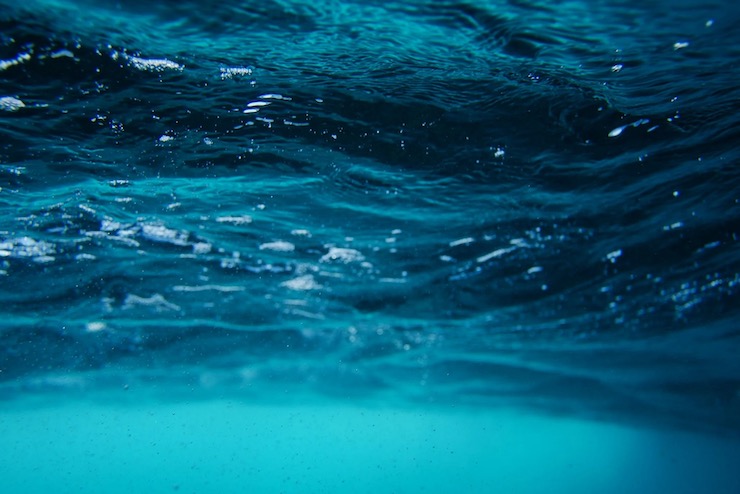
When initially deployed, the M-AUEs were released off the coast of La Jolla, CA for a 5 hour mission. The drones autonomously adjusted their buoyancy to the same depth of where plankton would be, in the ocean’s internal waves. The drones were able to recognize changes in the current similarly to Peter’s hypothesis of plankton behavior. To be able to track, retrieve, and receive data from the drones, Jules developed an acoustic system rather than using GPS which is not always accurate underwater. “It was so exciting,” Peter said. “I whooped with joy. Just watching the waves propagate through the swarm was utterly astounding. It was the coolest thing I’ve ever seen, it’s still is the coolest thing I’ve ever seen.”
This research does more than provide scientific evidence of how plankton navigate through ocean currents. It provides researchers with a map of how plankton interact with each other and how they are affected by rising ocean temperatures. It allows scientists to create a predictive map of where plankton will go. This map can go a long way in helping fisheries safely harvest shellfish that begin their life as a form of plankton. The impact that plankton has on the survival of other species can be traced as well. The M-AUEs can help scientists understand our planet’s largest resource on microscopic and local levels.
|