Montana’s Top-Tier Drone Industry Continues to Surge

Montana has consistently ranked in the top 10 of US states that are actively supporting the growth of the nation’s drone industry. The reasons are not hard to find. For one thing, the state’s size and terrain are highly favorable to drone flying. Montana is the nation’s fourth largest state – after Texas, Alaska and California – and its entire eastern half comprises vast, sparsely populated prairie lands. Billings, Montana’s largest city, has just 120,000 residents. Helena, the state capital, has just 34,000. As a rule, drones are free to conduct their operations in Montana away from large densely settled residential communities where they might pose a nuisance or safety risk.
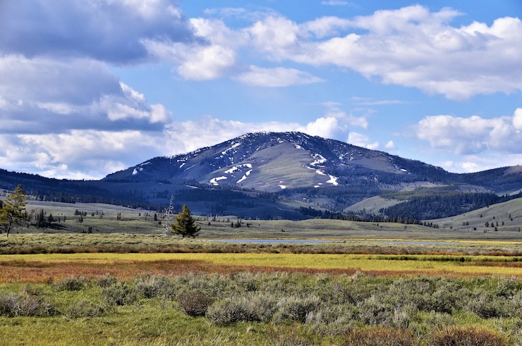
Montana’s semi-arid climate is also a positive factor. While windy, the Treasure State is also the nation’s sixth driest. Rain, which can pose a flight hazard to drones, is not a factor here. Montana does have mountains and foothills to the west, and rains can sweep across the plains, but only in the spring and fall. And the state’s skies are free of commercial air traffic. Montana is known as “Big Sky Country.” The state offers high visibility and largely unrestricted airspace for unmanned aircraft.
Like other Upper Midwestern states, including North Dakota and Minnesota – which are also among the nation’s leading UAV boosters – Montana’s regulatory environment is unusually favorable to drone commerce. The state has an executive-level drone task force that provides guidance to commercial users and local officials. In addition, Montana law creates an avigation easement, which means drone operators are protected from nuisance and trespass laws as long as their drones do not disturb people on the ground. State law also allows authorities to lease low-altitude airspace above state and local roads, which allows state officials to create drone “corridors” above these roadways. For all of these reasons, drone commerce in the Treasure State is booming.
What industry in Montana claims the highest level of drone activity? Overwhelmingly, it’s farming. One out of every six Montana workers is employed in an agriculture-related field and the state ranks first in the nation in the production of organic-grade wheat; sugar beets, hay and barley are also critical to the state’s economy. Farmers began turning to drones well over a decade ago, mainly for aerial 3-D mapping and for the targeted application of fungicides, but more recently for seeding and fertilizer spraying. Indeed, in some cases, a farmer’s entire field operation – including cultivation – is being managed by drones, sometimes autonomously.
Hylio, a Montana-based company that makes spray drones, has seen demand for its aircraft increase tenfold in recent years, forcing the firm to scale up and diversify its manufacturing. According to company CEO Arthur Erickson, drones haven’t completely replaced big ground rigs, which are still heavily used on large 500- to 600-farms. But drones are more maneuverable and safer, cheaper and more efficient to use on smaller 40-50 acre farms, he notes.
One Montana small farmer, Doug Heist, has recently expanded his drone fleet beyond a smaller DJI drone for mapping to include more specialized spray drones, including a fixed wing aircraft that resembles a crop duster. “When we’re talking about sprayers that cost almost $1 million and you can get four or five drones out there that are half the price or less it starts to make sense,” he says.
And it’s not just farming where drones are gaining increased application. Another key industry in the state is mining, especially in the southwest. Drones can enter mines to conduct exploratory surveys and to test air quality and identify sources of stress that might endanger mine safety. Drones equipped with flashing strobe lights and sirens are even being used to scare birds away from toxic chemical pools in Butte, home to the large Berkeley Pit mine. The mine lies in the middle of a large migration corridor for various waterfowl species – as many as 15,000 birds total – heading south for the winter or back north for the summer. Montana State University (MSU) also uses aerial and underwater drones to collect water samples from the Berkeley Pit mine.
More recently, MSU has begun testing a highly specialized “SwitchBlade-Elite” research drone to measure river ice thickness to predict seasonal flooding. Last year, MSU researchers began surveying a 250,000 square mile stretch of Yellowstone River, the longest free-flowing waterway in the continental US. North America experiences about $250 million in economic costs annually for damaged infrastructure, agricultural losses, and flood recovery due to so-called ice jam flooding The results of MSU’s pioneering research could assist state authorities with flood forecasting and relief planning – and not just in Montana, but nationwide.
|