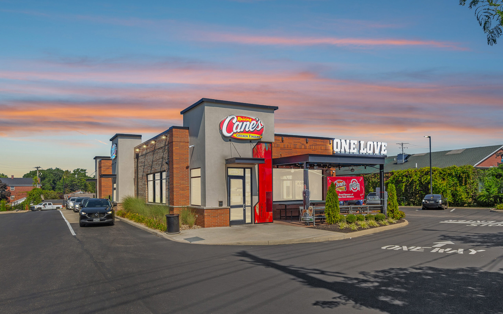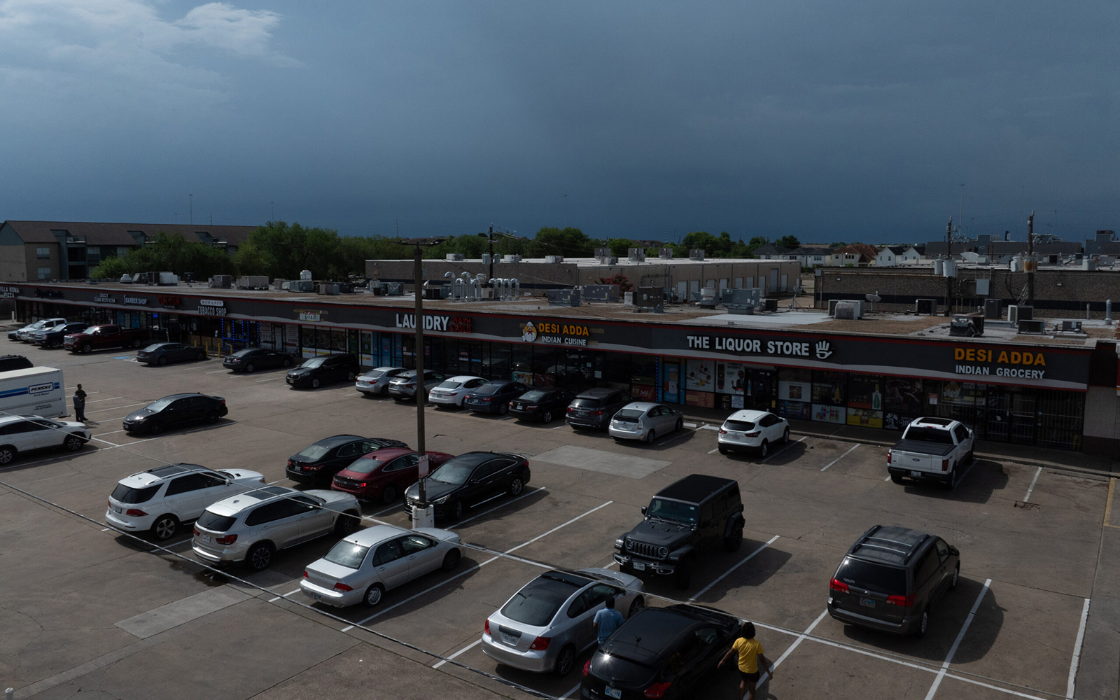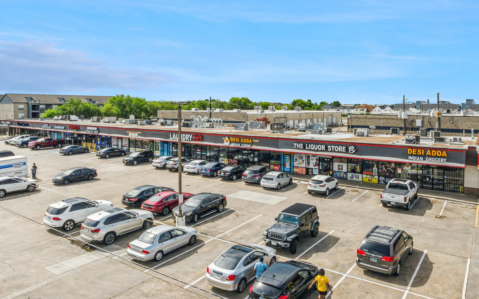


Commercial: 20 Photo Package
$350.00 per order

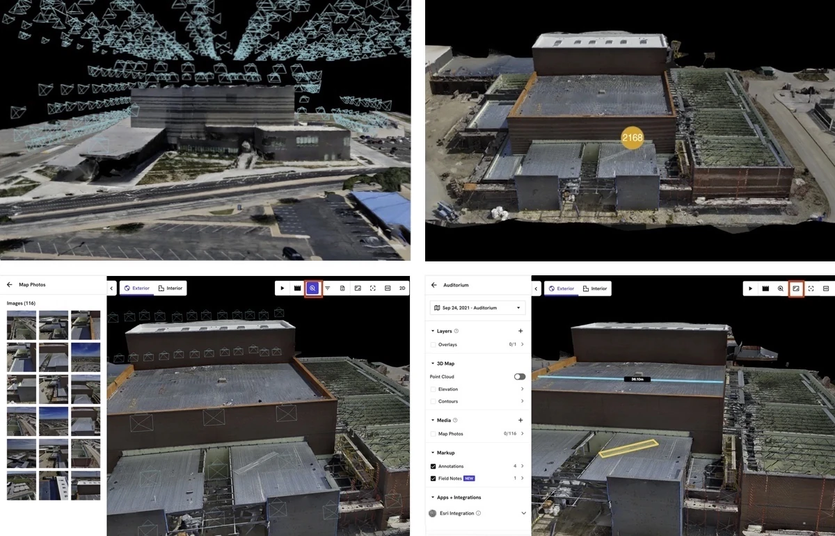
View Samples
- Camera
- Ground + Aerial Photos
- Blue Sky Replacements
- 1 FREE Virtual Twilight