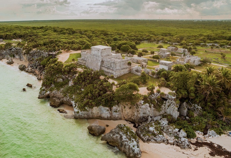
Archaeological exploration isn’t easy when the search site is located in a remote inaccessible jungle and covered with dense foliage. A case in point is the search for ancient Mayan ruins in Guatemala. But thanks to unmanned aerial vehicles equipped with advanced LiDAR technology, scientists can locate likely ruin sites quickly before commencing a formal excavation.
Archaeologist Lyle Miller has been deploying a DJI M300 drone for several years to penetrate the dense foliage of jungles in northern Guatemala. The drone’s LiDAR sensors can detect structures invisible from the air due to the thick canopy of trees that cover most of the area. LiDAR, which stands for Light Detection and Ranging, works by emitting laser pulses that can travel through physician obstacles, bounce off structures invisible to the naked eye, and then return to the sensors. Based on the resulting data, intricate 3D models of the hidden terrain and structure can be constructed to provide a complete reconstruction of key aspects of an ancient civilization.
Miller’s team recently upgraded their DJI’s LiDAR sensors to the latest 2.0 version of the technology. The upgrade allows for the identification of more ground points and superior data quality. The result, Miller says, is fewer false positives and an improved identification of promising search sites that were previously overlooked. Thanks to the latest upgrade, and expanded use of the DJI M300, Miller’s team has already discovered additional Mayan buildings, temples and causeways that had been hidden for centuries.
Miller’s effort is actually the product of a collaboration between himself, Edwin Escobar, the visionary founder of the archaeological firm DEEL, and Don Garland of Drones Plus, whose entrepreneurial spirit actually fueled the collaboration. Together they figured out a way to adapt the DJI drone and LiDAR technology to the specific requirements of aerial archaeological exploration in the Guatemalan setting. The team devised special antennas needed to penetrate the thick canopy, under unusually humid conditions, ensuring a constant and reliable communication link with the drones. They also needed to plan out how to transport and deploy equipment by foot and other means into a highly rugged and inaccessible terrain, with lots of hazards, including poisonous snakes and insects and carnivorous animal predators en route.
This is not the first attempt to rely heavily on drones for archaeological exploration – even in Guatemala. Back in 2014, researchers from the University of California San Diego’s Qualcomm Institute coordinated with a team of archaeologists and drone experts to document the Mayan archaeological site of El Zotz in northern Guatemala. At the time, use of LiDAR technology was still in its infancy, and the team only got so far – identifying some of the larger and more obvious structures and setting the stage for subsequent exploration on foot. Other researchers began flying drones in 2018 and began piecing together what life was like in ancient Mayan civilizations, bringing to light new discoveries and shattering old myths. The latest work by Kyle Miller and his team goes even deeper into the day-to-day life experiences of the Maya. None of this would have been possible without the powerful assist provided by the latest cutting-edge drone technology.
It’s not just Guatemala, of course. Archaeologists in Southeast Asia have begun investigating what life was like at the famous temple complex in Cambodia known as Angkor Wat. LIDAR-equipped drones have flown over Angkor Wat to produce a detailed map of the city, including roads and previously unknown temples.
“No one had ever mapped the city in any kind of detail before, and so it was a real revelation to see the city revealed in such clarity,” Damian Evans, an archaeologist at the University of Sydney, told the British Guardian. “It’s really remarkable to see these traces of human activity still inscribed into the forest floor many, many centuries after the city ceased to function and was overgrown.”
|