Growing up in rural Mifflinburg, PA, Nick Wagner always enjoyed playing with drones. As a young adult, he went to Penn State University, earning a BS in Computer Engineering with a minor in Business and Liberal Arts. Upon graduating, Nick moved to Oregon, where he began working as a Validation Engineer for Intel. Not long after, he took the time to get his PART 107, the license required by the Federal Aviation Administration, to fly his drone commercially. It didn’t take long for Nick to recognize the potential opportunities being a drone pilot could have on his future.
In 2018, Nick founded ForeSight Drone Services out of Portland, OR. As he explains on the website, “At ForeSight Drone Services we see the potential of technology as a tool for conservation, a tool for good. A way to get better data, to gain insights that weren’t possible before, and to tell a more compelling story.” Using a drone like the DJI Phantom, Nick began offering services to benefit ecological services in the Pacific Northwest. Some of the drone services ForeSight Drones provide are basic aerial imaging and tours, 3D story mapping, topographic surveys, and time lapsed photo point processing. A few months ago, Nick was given the opportunity to use his drone expertise in a way he could have only dreamed of.
He was contracted by Ocean Cleanup and Oceans Unmanned to run a 3 month long drone survey of the Great Pacific Garbage Patch. It is a common misconception that the Great Pacific Garbage Patch is a floating island of massed debris. The patch is widely dispersed and made of microplastics with low density making it difficult to be seen through satellite imagery, or even by ships on the ocean surface. But drones with HD and thermal processing cameras can be used to gather data on the patch with better accuracy.
On July 21, 2021, Nick headed to Victoria, Canada with a fixed-wing drone to begin the mission. “We’d launch [the drone] off the top of the ship and then fly it for upwards of an hour, hour and a half, taking a series of photographs facing straight down at the surface of the ocean,” said Nick. “And then we take those images, run them through an artificial intelligence algorithm that would detect the pieces of debris floating on the surface of the ocean.”
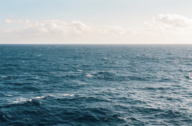
Nick and his crewmates were shocked by what they found after 5 days of sailing to reach the Great Pacific Garbage Patch. At first, there was not much to be seen. But with the drone and the AI computer algorithm, there was no place for the debris to hide. In an Instagram post, Nick stated, “There’s no ‘trash island’. Good luck trying to walk across it. But stop and look, and it’s ubiquitous…not just at the surface, but deeper down and stirred up in the wake of the ship. It’s 10 times more abundant, maybe 100x more abundant, than any visible life with the naked eye.” For a rural Pennsylvania kid, who once thought of drones as just something to play with, Nick is amazed as to what he is now able to do with a drone. With drone technology, Nick and his colleagues are collecting data that can save the planet.
|