
Maize, or corn, is the United States’ largest crop and the second largest worldwide. Annually, an average of 90 million acres of corn are planted in America, contributing to the 1.2 billion metric tons planted globally. Corn is inexpensive to plant, grows quickly, and has multiple uses. The most common of these include human consumption, animal feed, and conversion to biofuel. While maize is generally a hardy plant, like all crops, there are challenges that can affect yields.
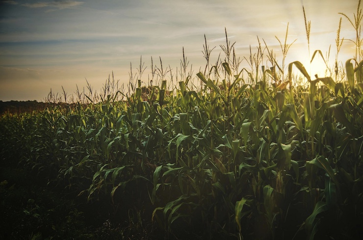
Apart from drought, flooding, or invasive pests, one of the biggest problems maize farmers face is called lodging. This occurs when the corn stalks bend, break, and fall down. Corn crops, which can reach heights of 6-10 feet, are planted in tight rows to maximize space. Because of the way the crops are planted, when one stalk is damaged, it causes a domino effect to the plants around it, potentially risking the yield of an entire field. High winds, excessive rain, and wild animals are just some of the factors that can contribute to corn lodging.
Traditionally, lodging mitigation practices require farmers to manually inspect crops regularly, not just after storms. If they see lodging in a specific area, they must quickly remove the damaged stalks before they can wreak havoc on the rest of the crop. Corn crops can range in size from a few hundred acres to several thousand acres, making the manual inspection for lodging extremely time-consuming and often ineffective. A group of researchers from Yangzhou University in China, led by Qian Sun, and the Research Center of Information Technology at the Beijing Academy of Agriculture and Forestry Sciences, recently published their findings on using drones to improve lodging mitigation.
The paper, titled Evaluation of Growth Recovery Grade in Lodging Maize via UAV-Based Hyperspectral Images, was published in the Journal of Remote Sensing. It was based on drone-collected data from three different farms over the course of three years. The sites were specifically chosen as locations not prone to extreme weather conditions, allowing the researchers to assess typical lodging conditions. The drones were used to collect data throughout the crop growth cycle from multiple angles, including the root and canopy levels.
To collect the data, the team used a DJI S900, a drone made for precision filmmaking. The drone is equipped with a high-resolution camera, which the team supplemented with a hyperspectral camera. The hyperspectral imaging allowed the researchers to analyze everything from differing chlorophyll levels along an entire stalk of corn to the conditions of the soil and the detailed angles (called recovery grades) of each corn stalk. “This technique allows for more precise monitoring and assessment of lodging crop conditions compared to traditional methods,” said co-corresponding author Xiaohe Gu. “In particular, this study proposed a comprehensive evaluation framework that combines canopy structure and physiological activity, delivering a precise and efficient means of assessing the recovery grades of lodging maize.”
With the collected drone data, the research team has been able to provide farmers with appropriate mitigation management plans. Farmers now have the information needed to prevent lodging from occurring. If and when lodging does happen, using a drone to locate the damaged crops allows farmers to efficiently plan how to remove the lodged plants before they cause further problems. “The ultimate goal is to revolutionize agricultural practices through the widespread adoption of UAV-based hyperspectral technology,” said co-author Professor Liping Chen. “By making this advanced tool a standard component in crop monitoring, we aim to significantly enhance the accuracy and efficiency of assessing plant health and recovery. This will enable farmers and agronomists to manage crops more effectively, optimize interventions, and ultimately increase yield and productivity.”
The integration of drone technology and hyperspectral imaging marks a significant advancement in agricultural practices. By enabling precise, real-time monitoring of crop conditions, these tools help farmers not only mitigate the risks of lodging but also optimize crop management strategies to enhance yield and sustainability. As this technology becomes more widely adopted, it has the potential to transform how farmers approach crop health and recovery, ultimately contributing to more efficient and productive agricultural practices worldwide.
|