
There are 1,350 active volcanoes around the world. Of these, 500 have erupted during historical times. Millions of people live under the shadow of active volcanoes. Understanding how volcanoes work and gathering knowledge to predict when they will erupt is crucial for protecting people living in these environments. Some volcanoes, like Hawaii’s Kīlauea, are constantly erupting. Others have erupted only once, but volcanologists constantly monitor them because eruptions can occur unexpectedly.
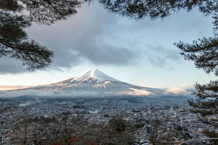
“At the most basic level, volcanoes are the inside of the Earth trying to get to the outside of the Earth,” says Dave Pieri, a volcanologist at NASA’s Jet Propulsion Laboratory. When pressure builds up and an eruption occurs, different types of volcanoes react in different ways. Kīlauea, a shield volcano, is one of the largest types and releases slower-moving streams of lava. Stratovolcanoes, like Mount Rainier, are the tall, conical volcanoes typically imagined, known for their violent explosions. Though different in many respects, both types can be very dangerous.
Several research programs around the world have begun using drone technology to study volcanoes. One such program was led by Dr. Jonathan Castro, a Professor of Volcanology at the University of Mainz, Germany, to study Mount Etna. A stratovolcano on the east coast of Sicily, Italy, Mount Etna is the most active volcano in Europe. It covers an area of 459 square miles and has a current elevation of 11,014 feet. In 2021, after being particularly active over six months, the accumulation of erupted volcanic material raised the summit of the southeastern crater by 100 feet.
Geologically, Mount Etna dates back approximately 500,000 years. The majority of Sicily’s income is supported by the volcano. The rich soil produced by the volcano makes the surrounding area prime for agriculture, while millions of tourists flock to Mount Etna yearly. The United Nations designated Mount Etna as one of 16 Decade Volcanoes, marking it as an ideal study environment, which is why the National Institute of Geophysics and Volcanology has set up the Mount Etna Observatory on the slopes of the volcano.
Working out of the observatory, volcanologists like Dr. Castro use a wide range of instruments to gather data. One of the most commonly used instruments is a device that samples the volcanic gases constantly being released from one of Mount Etna’s five craters. Dr. Castro explained that typically, a researcher would get as close as possible to the crater with the device on a pole. They would then wait for hours in the harsh environment, hoping the wind blows the gas in the right direction for the device’s sensors to take measurements. Dr. Castro had the idea of using a drone for the first time on Mount Etna instead.
” The drone is a platform that can follow the gas where the wind takes it,” Dr. Castro said. He began the trial by testing how an off-the-shelf DJI Phantom Vision 2, a beginner drone that retails for only a couple of hundred dollars, would be able to fly on Mount Etna. Dr. Castro was worried that the drone would not withstand the strong winds on the volcano. However, he was impressed by how well the drone handled at an elevation of 3,000 meters in winds upwards of 20 kph. ” If we can take and entry-level drone and fly under Mount Etna’s harsh conditions,” Dr. Castro said, ” then we can take their [DJI] upper-level product line, the M600, and we can do even better work by just simply adding the instrument to the drone and allowing the drone to fly into the volcanic plume.”
The gas samples collected by the drone can then be used to understand how the volcano functions. Higher levels of certain chemicals in the gas can indicate an impending eruption. Ultimately, Dr. Castro and other volcanologists hope that using drones to study volcanoes will help protect the millions of people living on or around volcanoes. “The better we understand volcanoes, the more efficiently we can predict volcanic eruption behavior,” Dr. Castro said. ” We can translate those signs of activity into a plan of evacuation around active volcanoes.”
|