
Drones Are the Perfect Eye in the Sky for Vehicle Traffic Management
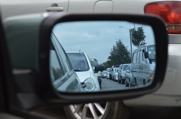
Traffic on the nation’s roads and highways is getting increasingly congested, not only slowing vehicle movement but resulting in more accidents and injuries. Currently, federal and state transportation authorities deploy static cameras to monitor traffic flows and detect speeding and other reckless or suspicious activity. Helicopters may fly overhead to anticipate bottlenecks and advise motorists of alternate routes. But current surveillance systems are barely keeping up with the volume and complexity of events on the road.
Unmanned aerial vehicles (UAVs) also known as drones, may be the perfect “eye in the sky” for improving traffic management. Highly mobile, they can scour the length of a major highway in a matter of minutes and then zoom in to investigate and report in real-time on specific problems. They can also collect and analyze traffic flow data over time, improving strategic planning for road enhancement. Finally, properly equipped they might also aid in search and rescue operations, providing vital first-aid to disabled motorists before police and emergency medical teams arrive on the scene.
Where are drones currently being deployed? A survey conducted by the American Association of State Highway and Transportation Officials (AASHTO) in May 2019 found that use of UAVs by state Departments of Transportation (DOT) had grown significantly in the space of a single year – from 45% of state DOTs in 2018 to 72% in 2019. During this period DOTs had hired hundreds of new staff to support drone expansion, including 279 pilots certified by the Federal Aviation Administration — an average of eight pilots per state.
Not all states deploy their drones for the same reason. According to AASHTO, drones were being used in 20 different kinds of missions. Some prioritized traffic monitoring, but others did not. The top priority turned out to be photo and video surveillance of infrastructure projects, including close inspection of bridges, signage, light poles, and pavement. Second most important was broad surveying of road conditions, and third was responding to emergencies and natural disasters. Public education and outreach ranked #4. Some state DOT drone missions were surprising: observation and management of endangered species, for example. Some state DOTs were even using specialized drones to monitor underwater vegetation.
Research on the effectiveness of UAVs in transportation setting is still in its infancy but the time and cost savings of drone use compared to existing methods is already apparent. For example, a 2019 study of drones as a tool for fatal car crash investigation in Tippecanoe county, Indiana found that drones reduced the incident review time from 2-3 hours to as little as 5-8 minutes. Because of that reduction, cars stuck on the highway as the investigation proceeded could be cleared away faster, which also reduced the incidence of secondary crash incidents which typically occur when cars are forced to idle and pile up on busy highways. The drones also provided 3-D mapping and data that allowed for a more comprehensive assessment of crash’s origins and options for road improvements and warning signage to reduce the potential for future incidents.
In the future, some traffic safety experts hope to incorporate drones into a more ongoing traffic safety monitoring system. Several studies have found that drones surveying traffic flows and accidents could relay their information directly to moving vehicles still on the highway. A 2018 pilot study found that vehicles driving within 3 kilometers of a drone flying overhead received accurate information about road conditions 50% of the time in optimal weather conditions. The study also found that communication improved when cars were equipped with outside antennas and the drone flew at an altitude of 300 feet.
|