
Drones Enabling Indigenous People to Protect Their Land
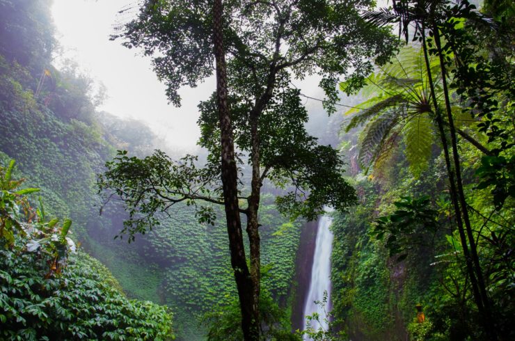
For the indigenous people from the Pacific Northwest to the Amazon Basin, their land is their most prized possession. However, multinational corporations are exploiting these virgin lands for their own gain with little regard to the effects their activities have on the environment. While most South American governments have laws that protect the indigenous land, there is little these governments can do in terms of enforcement without the presentation of solid evidence by the complainants.
Using Drones to Highlight Their Plight
The Wapichan tribe which lives in Guyana is one of the groups that have taken advantage of drones to fight for their land. The members of this tribe use drones to take aerial photos of illegal gold mining being carried out on their land which has brought about great destruction to Wapichan’s water resources. These photos will be instrumental in helping the tribe fight against this encroachment in court.
What stands out the most about the drones in use is that it was fully built by members of the Wapichan tribe together with Gregor MacLennan, a director at Digital Democracy, a non-profit organization. The tribe members relied on YouTube videos and other online materials to assemble the drones back in 2014. Most of the materials used are locally available while the electronic components were brought by MacLennan. This gave them an advantage in that in case of damage, they could easily repair them.
They have gone on to acquire a few modern Parrot Bebop Quadcopters to supplement their self-made drone. The program has produced great results such as in 2015 when one of their drone teams unearthed a logging operation that was taking place on the Brazilian border, an area infamous for illegal activities. Using their drones, they were also able to document evidence that the mining of gold at the Marudi Mountains was responsible for the pollution of Wapichan water sources.
Drones Preventing Rapid Deforestation
In Panama, the United Nations has partnered with the seven largest indigenous tribes to actively monitor indigenous land and bring an end to the rapid loss of forest cover. The UN has been training volunteers from these tribes to pilot drones and use the data gathered from these drones to formulate detailed maps of their land. Using a smartphone app, they monitor the forest for freshly-cleared portions which indicate illegal activity taking place. The technicians map the area on the app after which they move in to investigate further. Some of the footage from these drones has been used to develop maps to support land claims which these communities have gone on to file with the authorities.
Telling Their Own Story
Drones have given a voice to the indigenous communities and for the first time, they can tell their stories from their own perspective. This has ensured that their stories are told without bias and that their plight is highlighted and communicated to the world.
They have also given greater autonomy to the indigenous communities as they can now make more informed decisions to protect their land. From monitoring wildlife populations and the patterns of land use, these drones gather critical information that these communities can then use to make more informed decisions on how to make better use and protect their land.
|