Wildlife extinction is a growing worldwide problem. The World Wildlife Foundation estimates that some 10,000 species, including land and marine animals, birds and insects – become extinct each year. Plants and trees, especially the world’s rain forests, are also under siege. Traditional conservation efforts are helping, but more resources are needed to target conservation more precisely.
Piloted reconnaissance vehicles are already in play but the potential for unmanned aerial vehicles (UAVs) to map even more territory and species is growing. For example, UAVs can be equipped with LiDAR and multi-spectral cameras employing high-resolution lenses that can capture images in dense forests to a centimeter-level ground resolution. Tens of thousands of images can be collected to provide accurate, geo-referenced data that can be regularly updated to track environmental stress levels and set the stage for effective remediation efforts.
A good example of environmental drone technology in action is Quantum-Systems’ aerial mapping work with Wilderness International in Peru, which has the world’s second largest rain forest after Brazil. Destruction of Peru’s rain forest affects the world’s carbon supply while threatening an estimated 4,000 wildlife species whose habitats are besieged by deforestation, much of it caused by slash-and burn-agriculture. These age-old but outmoded techniques also displace local villagers causing widespread hunger and misery.
Backed by the company’s patented Trinity F90+ drone, Wilderness International can monitor five million square meters of endangered Peruvian rain forest, much of it located in remote and dangerous areas difficult to access on foot. Quantum’s mapping is so precise that WI can use captured drone images to track which areas of the rain forest are being protected by its donors. Contributors can measure the precise impact of their funding and adjust their financial support as needed.
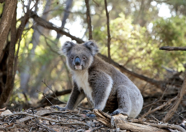
Some drone companies have begun to specialize in wildlife protection. For example, Wildlife Drones has partnered with the Turner Family Foundation to track the movements of endangered koalas in Australia using drones equipped with thermal imaging and radio sensor technology. The company is also assisting the US Drug Administration with drones equipped with sophisticated telemetry to detect movements of invasive pig and possum species. Other company drones track endangered swift parrots, bats, pangolins and brown snakes
As drone use expands, expect marine life conservation to become a more central focus, experts say. While low-flying UAVs have tracked dolphins and whales for some time to better understand their mating and migration patterns, new technology has allowed for the development of underwater or submersible drones – usually dubbed ROVs, or remotely operated vehicles.
In September 2020, the Wildlife Conservation Society announced an Underwater Drone Initiative to allow marine ecologists nationwide to document their conservation stories. Two months later, the National Oceanic and Atmospheric Administration deployed ROVs equipped with acoustic “ears” off the coast of Maine to identify the calls of various whale species to better understand the threat posed by commercial lobster nets.
Experts say that new operational rules may be needed to prevent underwater drones from disturbing the very endangered marine species they seek to monitor and protect. But deployed properly, ROVs tend to be less intrusive, and leave a smaller footprint, than submarines or human divers once did. Given their obvious cost and technical advantages, even conservation organizations are rapidly transitioning their marine operations to underwater ROVs.
|