
Drones To Help Control Deforestation
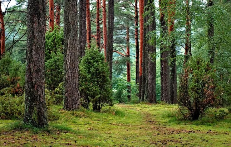
About 7 million hectares of forest get cut down every year. Deforestation has been a serious global issue for the past few decades, especially considering the rise in carbon dioxide emissions that forests help control. Thanks to new technology, low cost drones coupled with latest satellite imaging could soon help protect the forest let developing countries do the sames. Satellite imaging has been around for a long time, but the forest mapping algorithms they have running on them have proved to be inefficient. There has been a number of cases where the margin of error has been more than 10%.A high tech company called COREGAL plans to solve this. The team at COREGAL has designed inexpensive drones that are fully automated and highly efficient at mapping land. A special sensor has been placed on their drones that fly over the forests. The drones are connected to a system that analyzes GPS (Global Positioning System) and satellite signals. This helps them precisely estimate the biomass density of the area.”If you combine our data with the satellite data, we can get a much more accurate map of an area than either of them would (alone),” said Pedro Freire da Silva, who is a satellite and flight system tech expert at the Portuguese tech company Deimos Engenharia. The World Bank, the European Investment Bank, and other international financial institutions provide developing countries with the financial support to maintain their forests’ carbon stocks under the UN REDD+ program. The more carbon stocks a developing country can show, the greater amount of money their governments receive. This will give developing countries a better incentive to protect their forests.
According to Silva, these countries lack the right tools to be able to determine the exact figures when it comes to figuring out the carbon stocks stored in their forests. In many cases, this means they could potentially be missing out on a lot of funding. “If you can use the right tools to measure the biomass, you can effectively measure the carbon stocks and get a number which actually has significant value for a developing country,” Silva said. “Even if you have a 10% error in estimating your carbon stock, that can have a big financial value,” he said while adding that it’s also taxing for governments to collect all the relevant data about their forest lands.
Another potential benefit of this system is that it will make it easier to monitor the international food industry that sells products made from items linked to deforestation such as meat, dairy, and cocoa. Companies that sell these products have to declare their own set of rules when it comes to limiting deforestation. Now that drone based monitoring systems will be up soon, the companies will have to stick to their claims.
|