
Drones to Track the Largest Dam Removal on the East Coast
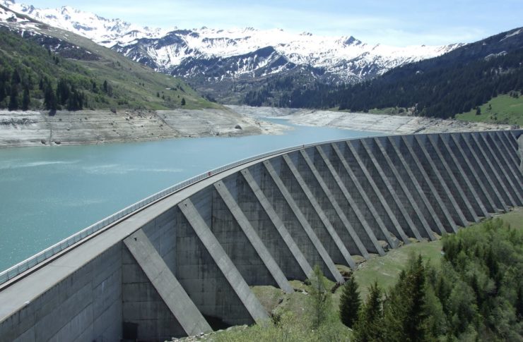
In the past, taking down a dam has been a tough jobs for engineers, contractors and demolition experts. One wrong move and the damage caused by the water and can be deadly. A team of experts from Maryland have recently figured out a way to make this entire process easier by using drones. A large dam named the Bloede Dam is scheduled to be brought down from Patapsco River in Ilchester, Maryland. The removal is being done as an experiment to help test cost efficient drones by helping scientists understand the integrity of rivers and streams.
The demolition is being conducted by researchers and students fr0m the university of Maryland Baltim0re County, Maryland Department of Natural resources, Maryland Geological Survey, US Geological Survey, and the National Oceanic and Atmospheric Administration. If successful, the demolition will allow the scientists to track the dam’s sediment movement more accurately than ever before using the high quality cameras and sensors mounted on the drones. All this will be achieved at a fraction of the cost of regular dam demolition.
Completed in the early 20th century and operational for over 30 years, the Bloede Dam had the first submerged hydroelectric plant in America at 26.5 feet high. The dam has to be removed as various federal, state, and non-profit organization American Rivers believe that it poses a public safety hazard. Removing the dam will also compliment restoration from previous dam removals upstream in order to expand connected habitat for aquatic life. The stakeholders hope the Patapsco lake will regain its glory as one of the leading freshwater fish rivers which it was known before the dams were built.
The drones will come in handy in helping scientists understand sediment flow which is critical in river management. Sediment helps to balance water flow to maintain the channel shape and creates a stable habitat for aquatic life. Although scientists can observe evidence of sediment erosion from hillsides and river banks, it is often unclear how much and where the sediment is redeposited.
The scientists are attempting to take more measurements by deploying small drones that take high quality images and video footage of the entire valley bottom. Taking photos over a period of time helps track changes which ultimately helps scientists understand the dam’s behavior. Using drone technology, scientists can now do what used to take months in just a few days and at a fraction of the cost.
|