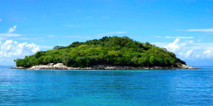
An archipelago in Scotland’s Small Isles is known to be a protected part of the National Scenic Area. According to the BBC, two of the islands in the Small Isles are now the world’s most accurately mapped islands. The accuracy of the new mapping system has allowed scientists to make new archaeological discoveries. The mapping was done by a Glasgow based firm GeoGeo. They were hired by the National Trust of Scotland to use drones to conduct surveys of the islands with the specific goal of finding previously hidden archaeological discoveries. The drone flew for five days, covering 250 miles. During it’s flight the camera mounted drone took 4,000 high resolution pictures from over 420 million data points. The large volume of data collected marks this as the largest complete island data-set that has been captured by a drone.
The most exciting findings from the collected data is how it is helping archaeologists. They are able to use the maps to get a detailed history of the island and pick out the remains of agricultural practices which can be dated as far back as 4,000 years ago during the Bronze Age. One such fact learned form the data collected by the drones is that the islands reached their maximum agricultural output in the 1800’s, but was only able to sustain about 400 people.
Derek Aleaxander, the National Trust for Scotland’s head of archaeology, is amazed by how well the mapping effort worked out. He found the level of detail to be outstanding and loved the fact that mapping the area with drones is more flexible and affordable than every other attempt ever made. People have been trying to map the islands since World War II and never produced anything as detailed as the drones did.
This new 3D-map is one of the most impressive feats utilized by drone technology. It has helped the local archaeologists tremendously. Researchers have used drones at several other sites where the accuracy of the overhead pictures allowed them to take measurements that would not have been as accurate if taken by hand. Some of those drones were even able to see underground and identify buried treasures and structures that would have taken months of digging to find.
A few people still live on the islands but the agricultural grounds have been overrun by about 20,000 seabirds. The National Trust worried that the birds would interfere with the drone’s work so they took precautions which would allow them to outmaneuver any eagles that attempted to attack the drone. Fortunately, no birds took any particular interest in the drone.
|