
Grand Rapids, Michigan, is the state’s second-largest city and is part of a metropolitan area with over 1.17 million people. This is great for businesses, but it also raises the daily question that can make or break a customer visit or a lease negotiation: where people park, how long they stay, and when spaces are available. Local businesses and property owners feel the pinch whenever lots are full at peak lunch hours but sit half empty on weeknights, or when a construction surge shifts demand across a few blocks. The city’s transportation department, Mobile GR, is testing novel technology utilizing drones and computer vision to map real parking behavior over time.
The proposal pairs OHM Advisors, a Michigan-based engineering and planning firm, with Quantifly, a drone-enabled analytics company that specializes in counting parked cars and analyzing turnover. Quantifly was formally established on January 8, 2018, and was co-founded by urban planner Daniel Brooks with Adrianna Jordan and professional drone pilot Zachary Halberd. The company is headquartered in Syracuse, New York, and focuses on geospatial analytics that convert aerial imagery into parking occupancy, turnover, and dwell-time metrics suitable for city planning and private site studies.
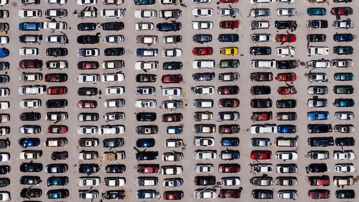
On flight days, a drone will operate roughly 300 to 400 feet above the Grand Rapids Downtown Development Authority district and capture high-resolution images at fixed time intervals. The drones are the same category of small unmanned aircraft commonly used in surveying and construction, equipped with stabilized cameras and GPS for precise, repeatable mapping. Quantifly’s software analyzes the data and runs vehicle detection across the imagery, identifying cars by their outlines, color, and position in marked spots. Because flights repeat at morning, midday, and afternoon peaks over multiple days, the system can infer turnover and dwell times by seeing which spaces change occupancy between passes.
The analytics layer is designed to protect privacy by avoiding any collection of personally identifiable information. As Mobile GR transportation planner Max Dillivan explained during a recent public meeting, “The limitations of this data that I want to really highlight is that we won’t be collecting any identifiable features such as license plates, vehicle identification numbers, bumper stickers, etc.” The outputs received are counts, heat maps, and time-based utilization charts, not raw footage. For a downtown property owner, that means you can finally compare the intuition that your west lot is jammed on Saturdays with an hour-by-hour trace that shows how quickly it fills after the farmers market opens and when it starts to turn over before dinner service.
The customer experience for this system splits into two tracks. City staff and consultants are the primary users, logging into a dashboard to view block-by-block occupancy and turnover patterns, exporting charts for commission packets, and testing policy ideas such as better time limits, targeted pricing, or converting underused employee lots to shared evening parking. On the private side, businesses and property owners receive summary reports and maps that illustrate how parking on their properties fits into the larger downtown system.
Drone-collected data can help a restaurateur decide whether to expand outdoor seating by showing whether nearby spaces turn over quickly enough to support a second dinner shift. A landlord weighing a conversion can show prospective tenants measured availability within a two-block radius at noon on weekdays versus weekends. Because the data is geospatial, it integrates cleanly with other city layers like curb regulations, construction closures, and event calendars.
Under the city’s surveillance equipment policy, drones require a public safety committee review and a full city commission public hearing before approval. Residents, business owners, and advocates were invited to weigh in on benefits and safeguards before any flights occur. Mobile GR Director Jessica Smith framed the rationale in plain terms, saying, “We’ve got big transformational projects and the number one question I get is, ‘Do we have enough parking?’” In other words, the city is coupling a modern sensing tool with a public process that sets boundaries on how the drone is used and what outputs are retained.
For Grand Rapids, the stakes are practical. The city is planning for an amphitheater, a new soccer venue, and continued infill, and businesses need confidence that customers and employees can still arrive without circling for fifteen minutes. If the drone-assisted study confirms that some streets are overtaxed while others are underused, the city can consider targeted fixes like dynamic wayfinding, time-limit adjustments, and shared parking agreements that unlock private capacity after business hours.
|