
Indonesia and Malaysia Using Drones to Help their Palm Oil Crops
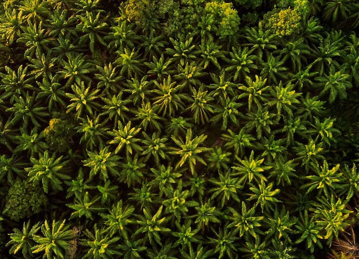
Palm oil is the most widely harvested oil in the world. As Dr. Emma Keller from the World Wide Fund for Nature said, “Palm oil is in close to half of the products we buy in the supermarkets – in everything from shampoos and soaps, to pizzas and biscuits. It’s everywhere.” The majority of the world’s crude palm oil supply comes from plantations in Indonesia and Malaysia. These plantations cover roughly 22.3 million hectares (86,100 square miles) of land throughout Indonesia and Malaysia, all together that is almost the size of the UK. A single palm oil tree can begin to be harvested after 3 years, survives for 25 years, can be harvested 12 months a year, produces 10 tonnes of fresh fruit bunches per hectare, with the kernel of each individual piece of fruit containing 50% oil. As such a highly labor intensive crop it is no wonder why the 5 largest palm oil plantations in Indonesia and Malaysia have begun to rely on drones as supplemental tools.
The palm oil plantations are vast and often hard to access. As the director of sustainability from Eagle High Plantations Tbk Denys Munang said, “Those who have ever tried to walk across a High Conservation Value (HCV) area would understand how difficult the access through a canopied tropical forest terrain is. That is a simple example of how drones help sustainability in the monitoring of our HCV areas. It is both time saving and increases labor productivity.” Eagle High Plantations began using drones back in 2015. At first the drones were used to help management get a better overall picture of the vast plantations.
For this process a fixed wing drone with longer flight times would be sent over the trees to gather thousands of images. These images were then uploaded into a system for analyzing and mapping services. The data compiled provides management with a view of where growth is strongest, what plants have died back, or what areas have been missed in the planting cycle. These drones also allow the plantation managers to see areas of nutrient deficiency or disease. Once an overall picture is in place, quadrocopter drones that can hover are sent out for more detailed images. The HD cameras on these multi-rotor drones are used to spot check areas as well as give a wide view to workers in real time.
One of the biggest benefits the multi-rotor drones have provided the palm plantations with is to monitor the spreading of fires, an issue that has long plagued the plantations. “Conventional fire detection prior to drones was a combination of manned fire watchtowers and foot/motorized patrols on the ground. However those conventional fire detection measures have their limitations,” Munang said. Now management will compare images taken from the fixed wing drones to satellite images at least twice a day to see if there are any approaching fires.
Then the smaller quadrocopters are sent to get a better view if a threat seems imminent. In comparison, the current protocols call for 15m tall fire watch towers for every 500 hectares of land that cost between Rp 100million to Rp 150million to build. While this system helps, it is widely unreliable. Meanwhile a drone that costs the plantation only Rp 30million to Rp 40million can give workers a view with a horizontal flying radius of one kilometer from 100-200m in the air. Munang said, “I personally have used the drones during the fire season in 2019 and it was very useful to detect the location of the fires raging outside our plantation. The drone allowed us to survey the fire that was raging far outside our concession area and to determine if we needed to prepare our fire suppression equipment in case the fire burns towards our area.”
With the use of drones palm oil plantations are becoming more efficient without jeopardizing job security. Finding people to work on the plantations is always hard. The drones however are able to complete jobs that would have take 20 people 14 days in a matter of 4 hours. The drones are taking on tasks that are physically too demanding, inaccessible, or dangerous for humans. With these jobs out of the way, workers can better allocate their time to safer tasks elsewhere. Some of these jobs include the harvesting process and the spraying of fertilizers and pesticides. Though many agricultural fields use drones to spray chemicals, because of the height of the palm oil trees this is not a viable option, yet. Though as Munang points out, this option is probably not far off in the future. He said, “I believe we have only scratched the surface of drone application in plantations. There are certainly many applications that can be used, especially with the convergence of technologies.”
|