
Landfill Surveying is Emerging as a Critical Drone Mission
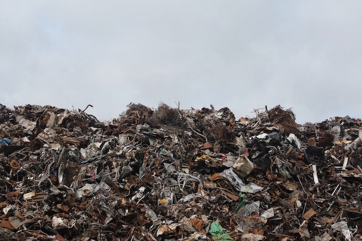
Unmanned aerial vehicles (UAVs) can conduct a panoply of important missions, saving time and money and reducing safety risks. But none, perhaps, is more fundamental than conducting aerial surveys – or site mapping. UAV farm and mine surveys have gained enormous public attention in recent years, and several of the nation’s leading farm and mining states have prioritized these operations. But less well known is the extensive site mapping now being conducted around the nation’s landfills, which not only pose a health and safety risk to nearby residents but are also a major contributor to toxic methane (or “greenhouse gas”) emissions.
The demand for landfill surveys is growing rapidly because of the widely acknowledged weaknesses in current field survey methods. The initial topographic survey to estimate the size and volumetric capacity of a landfill – which takes into account land contour, foliage and underground obstacles – can lead to imprecise estimates, often requiring costly adjustments, research shows. Typically, such surveys require a significant time and manpower investment – perhaps six field surveyors working full-time for two days. Moreover, once the landfill is created and filled, follow up surveys to estimate subsidence and other landfill management issues can expose a field team to a wide range of biohazards including leaking but odorless methane emissions, which are often improperly calculated.
How can drones help? A 2015 case study of the largest landfill in all of Latin America – in Buenos Aires, Argentina – found that an unmanned UAV could conduct a topographic survey twelve times faster than a manned field team – and at six times less cost. Drones could generate the same 3D modeling maps as field surveyors but their advanced sensors and digital data transfer technology allowed for automatic image processing, which meant that relatively unskilled technicians could manage the entire operation, further reducing labor costs.
Drones are just as valuable for more precisely calculating methane emissions, an issue of growing concern to the Environmental Protection Agency (EPA) as the nation seeks to meet its carbon reduction goals (e.g. 30% reduction by 2030). Traditional emissions estimates were based largely on mathematical modeling not on real-time empirical measurement. Even some early drone operations, conducted at too high an altitude or with imprecise laser sensors, tended to overstate the actual level of methane emissions, resulting in excessive EPA penalties on offending companies. The latest drone technology allows for precise nearly ground-level measurements pegged to specific emission sites. The new technology is allowing landfill companies to breathe easier that their emissions are being properly measured but also empowering local communities to insist on appropriate remediation where required.
Looking ahead, some industry pioneers want to see drones deployed to collect and dispose of human and industrial waste even before it reaches a landfill. Some companies have begun experimenting with drones that assist the collection of ocean plastic waste, a huge source of pollution and contamination not just to humans but also to marine life. The Plastic Tide Project deploys drones equipped with special visual sensors to identify and geo-tag patches of plastic in the water and along coastlines and popular beaches. The detailed maps that the drones generate allow human collectors to better target their removal efforts. An Atlanta- based start up has pioneered the use of an underwater drone for use in inland waterways that collects litter and plastic debris with a basket underneath the vehicle. The drone, dubbed the “WaterShark,” can also analyze water temperature, pH levels, depth, green algae, or hydrocarbons in oil.
|