
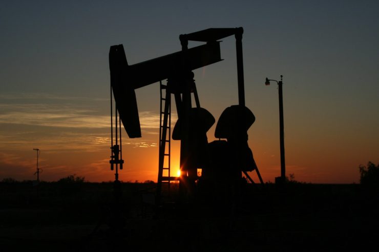
North Dakota Aims to Extend the Use of Drones to the Petroleum Industry
Authorities in North Dakota want federal approval for the use of unmanned aerial systems (UAS), or what are more commonly referred to as drones, for use in the oil and gas industry. North Dakota is pushing for the application of the drone technology in what is called “beyond the visual line of sight” or BVLS of the device’s operator, and iPIPE is supporting their bid.
iPIPE, an acronym for “Intelligent Pipeline Integrity Program”, is a research effort backed by the State Department of Commerce and a number of players in the oil, gas, mining, and utility industries. According to iPIPE research program manager at the University of North Dakota, Jay Almlie, up to eight of its major members will take part in a survey to test this new UAS technology effort later in 2019. This will involve the monitoring of some of the key oil and gas pipelines in North Dakota. Plans are also underway to offer technical iPIPE assistance to an industry-backed consortium that includes some of the Bakken Shale Play region’s biggest petroleum companies.
Some of the top oil and gas producers and market operators involved in the extensive drone research effort include Whiting Petroleum Corp, Oasis Petroleum Corp, and Hess Corp. Others are Midstream Energy Partners LLC, Goodnight Midstream LLC, Oneok Inc, Andeavor Marathon Petroleum, and Equinor ASA.
According to Matt Dunlevy, the chief executive of the drone services firm SkySkopes Inc, the existing BVLS laws are too restrictive to allow for healthy competition. Repealing or adapting them to the current industry needs will allow the industry to compete better with manned aircraft. Further, data collecting drones are going to be able to fly for longer amounts of time. That’s why the US Federal Aviation Administration (FAA) needs to listen to the call by the North Dakota authorities and iPIPE.
There are many other benefits of applying drone technology beyond the visual line of sight. For instance, drone operators working for the oil and gas companies will be able to detect leaks much earlier. Also, from a production viewpoint, it’ll be easier to detect land shifts and other possible problems earlier to save pipelines and infrastructure from damage.
The Department of Mineral Resources in North Dakota already applies a some of this drone technology in geological survey. The devices have also been used in a similar way to do landslide mapping. Statistics from a 2013 economic forecast report commissioned by the Association for Unmanned Vehicle Systems International (AUVSI) postulated that drone technology could contribute up to $82 billion to the US economy between 2015 and 2025. Currently, North Dakota accounts for only about 0.5% of the total number of FAA-licensed commercial pilots.
|