
Public Safety Drones Are Beginning to Make Their Presence Known in the American “Heartland”
Most US states located in the American “Heartland” – including Iowa and Nebraska – aren’t especially “friendly” to the drone industry. In fact, Nebraska is tied for last on the annual drone-readiness scorecard issued by the Fairfax, VA-based Mercatus Center. Iowa also ranks low – 45th. Neither state has an executive-level task force to promote drone commerce and their legal and regulatory structure governing drone use by recreational and commercial fliers remains largely unfashioned. Jobs for drone pilots and support personnel are virtually non-existent. There are no research or flight centers available to support even experimental drone development.
But real movement is afoot.
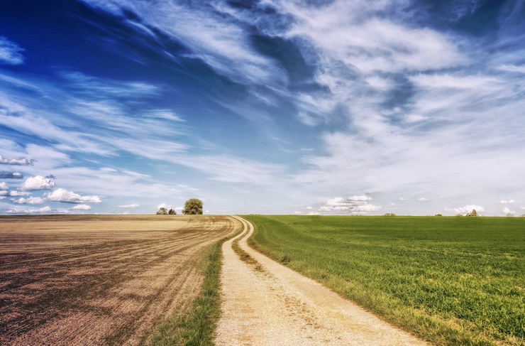
Last April, the Iowa Department of Transportation began working with Highway Helper contractor Autobase to test the use of traffic drones. Andy Lewis, the department’s Traffic Operations Bureau Director, came up with the idea after hearing how other states were using drone aerial surveys to file expedited accident reports, which would make clearing their roads and getting traffic flowing again faster. Post-accident field surveys typically take several hours to conduct. Battery-powered drones can perform the same work in a matter of minutes without the high manpower costs, and they operate sustainably, another key advantage.
Lewis, who’s a licensed UAV pilot himself, also envisions drones helping the DOT to conduct comprehensive aerial surveys of the state’s highways to improve the planning of road construction projects, monitor traffic patterns and even inspect nearby infrastructure.
“Using the drone provides a whole new vantage point that we’ve not had before. We can use it when we’re setting up a work zone to make sure all elements are positioned correctly to make the area as safe as possible. If an incident does happen, we can use the drone footage to review the road set-up and how first-responders worked together during the incident to make suggestions that may improve safety even more,” Lewis told a local news station in Iowa City.
Ashley Hochberger, a program manager in the Traffic Management Bureau, says drone overflights can also improve traffic monitoring to identify flow patterns and assist with redirecting vehicles to alternate routes to ease congestion. The same footage can be collected and analyzed over time to anticipate future road and safety barrier construction needs.
Having a drone on hand can also facilitate unanticipated traffic-related missions. For example, in nearby Davenport, IA, a drone was deployed to monitor river flooding and to evaluate what roads needed to be closed. In theory, the same drone could be used in the aftermath of the flood to assess its impact on road subsidence and home and property damage.
Public safety officers in Iowa are also warming to drones as a means of improving their day-to-day operations. In March, the Cedar Rapids Fire Department and the Linn County Sheriff’s Office used a drone to respond to a smoldering fire after a grain elevator exploded at the Archer Daniels Midland plant.
Elsewhere in the state, an upsurge in emergency calls from tubers and canoers lost on the Upper Iowa River have led first-responders to turn to drones for search and rescue operations.
The drones “give us a much better idea of where people are, generally, because the information we receive from our dispatch center is very vague,” says Zach Kerndt of the Decorah Fire Department in northeastern Iowa. The drones have also drastically decreased response times to 911 calls, leading to reduced injuries and fatalities.
In Nebraska police and fire departments have only just begun to incorporate drones into their crime-fighting arsenal. Like their counterparts in Iowa, Nebraska public safety agencies are recognizing the cost- and life-saving benefits of drones in reducing secondary traffic accidents due to road congestion and in pinpointing the sources of blazing fires.
In 2022, drones operated by the Nebraska State Patrol (NSP) shortened crash investigations from an average of 2.5 hours to just 53 minutes. According to the NSP, it normally takes $310 per hour to close a road for car crashes with field personnel alone. With the drones in the field, $7.1 million was saved.
The NSP is also beginning to use a fleet of newly-acquired Autel police drones to locate and apprehend fleeing criminal suspects. The drones are equipped with thermal imaging cameras that can identify suspects – or lost and missing persons — at night based on their heat signature alone.
All told, the NSP has 36 drones at its disposal – each one costing just $3,000. In the drone program’s first year, the agency conducted 185 drone missions, most of them for car crash assessments.
A handful of other low-ranking drone states, including Connecticut and Rhode Island in New England and Mississippi, Alabama and Kentucky in the South, are also beginning to come around to the public safety benefits of UAVs.
With foreign drone competition on the rise, drone industries booming nearby, and their early drone successes mounting, it’s only a matter of time before these and other drone laggards begin taking more steps to support drones – or risk being left behind.
|