
Researcher Uses Drone to Map Melting Glaciers
To map Greenland’s remote ice sheets, researcher Joseph Cook, needed to tackle the problem from an aerial perspective. He camped out for several months on the ice sheets of Greenland and although it was very uncomfortable, Cook knew that this was the only way he could accurately map the effect of climate change on Greenland’s melting glaciers.
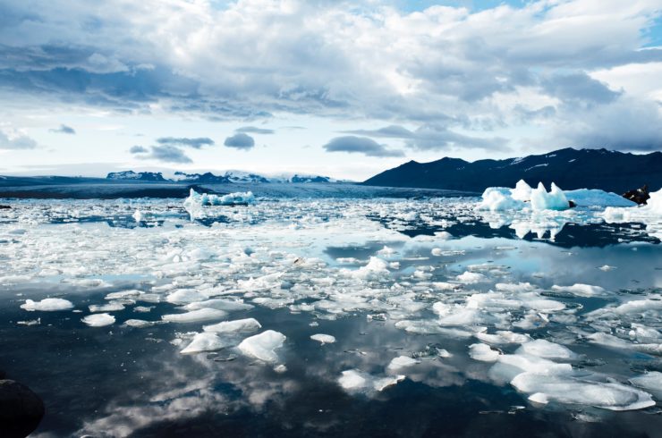
Cook is a researcher from the University of Sheffield and is studying the effects of microscopic algae on melting glaciers. The theory is that a dark melting layer beside Greenland’s west coast is being darkened even more by an ecosystem of biological growth. He stated that the country has about 7 meters of sea level affected by this ecosystem and this is a sign of solar radiation. If this sea area is lost, it could increase climate warming and release more water from melting glaciers into the sea raising the sea level and potentially flood shorelines around the world.
Cook was awarded a Rolex Award Young Laureate in 2016. The award came with perks such as funding for his research trips. His determination to discover how much of an effect the biological growth has on the rate of glacier melting is the first step to stopping it. After spending a couple of years mapping Greenland’s ice sheets with drones that are flown over the area in a grid pattern, Cook is now certain about the species of algae that is growing in the area.
To achieve this, has has to cover the areas he’s studying from the sky. He has done this by outfitting his drone with cameras and sensors so that he can take pictures in specific light wavelengths so that he can map different life forms on the ice.
Once the problem that causes the glacier melting is identified, he plans to roll out his mapping methods elsewhere and apply it to more sensitive and complicated glaciers. It’s great to see how drones are making an impact on many industries today throughout the world. They are being used by construction, crop inspections, real estate, military, e-commerce, law enforcement and much more. Understanding climate change is an area that concerns all of us, no matter where one lives. So Cook’s research will certainly help give us a better perspective on climate change as well as potential ways to possibly one day solve it.
|