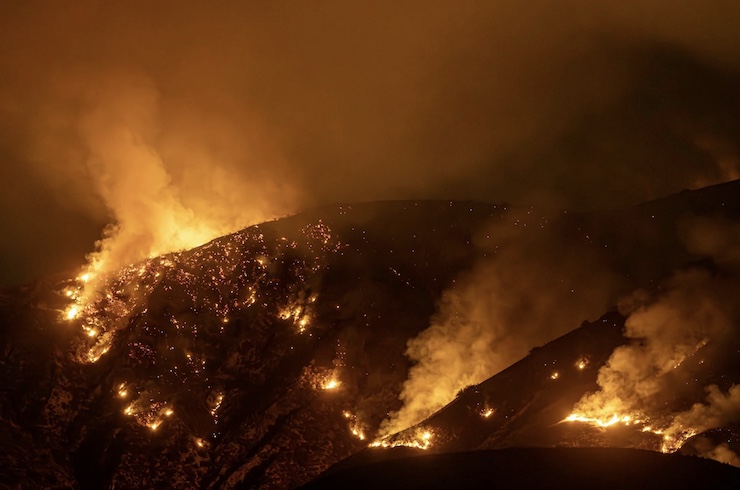
Revolutionizing Wildfire Response with Advanced Drones

For more than 100 years, Carnegie Mellon University (CMU) in Pittsburgh, PA, has been world-renowned for its excellence in the pursuit of science and technology. In 1979, President Dick Cyert approached Admiral Bacchicco of the Office of Naval Research at the Pentagon, and the President of Westinghouse, Tom Murrin, to secure government support and a five-year, $5 million commitment to open the CMU Robotics Institute. The Robotics Institute has since shaped advancements in autonomy, medical robots, space robots, nano-machines, and drones.
Associate Research Professor Sebastian Scherer runs the CMU Robotics Institute AirLab, where undergraduate and graduate students work on advancing autonomous unmanned aerial vehicles for a wide range of applications. Some of the notable projects that have come out of the AirLab include the DARPA Subterranean Challenge-winning drone, which can navigate and map underground tunnels, and the winner of the Howard Hughes Award for an autonomous helicopter. In response to the increasing cases of extreme wildfires worldwide, PhD student Andrew Jong is working in the AirLab to develop advanced drone systems for firefighters.
Firefighters have been using drones for situational awareness for some time now. And while current systems have come a long way in providing critical data, Andrew believes they can work even better. “The situation on the ground can evolve in a matter of minutes,” Andrew said. “As of now, the military-grade drones used by those fighting wildfires are high-altitude aircraft that fly far above the trees. They can’t fly low because they can’t see through smoke. We want to fly just above the trees or even below the canopy.” By bringing a drone closer to the ground, Andrew believes firefighters can more accurately predict how a fire will behave.
With support from his advisor, Professor Scherer, the U.S. Department of Agriculture, and the National Science Foundation, Andrew has developed a new drone that can handle the heat and smoke of a fire while avoiding obstacles like branches and telephone wires. The drone is powered by an NVIDIA Jetson onboard computer that allows it to remain lightweight, agile, and effective in compromising environments. “Its RGB, thermal, and lidar sensors give the drone multiple sources of information to work with, letting it to perceive, map, and communicate fire-position up to a 1-km distance,” Andrew explains. “Our UAS is also intelligent. It autonomously forms and executes a plan from human-in-the-loop input. The UAS continues to plan autonomously in real time based on its new observations about the world. Throughout, the drone streams back real-time HD video to the ground station.”
Providing expert advice to Andrew and his team is Josh Wilkins, a retired firefighter from California’s San Bernardino County Fire Department. He explained that when fire crews arrive at the scene of a wildfire, they often have data that could already be 12 hours old. While this information may be enough to address what firefighters can see in front of them, it is not sufficient to predict how the fire may progress. Additionally, this data is collected from points of view that are obscured by vegetation, structures, and smoke. “I helped bury too many folks who died for lack of actionable information,” Josh said.
Andrew hopes to change that by providing firefighters with a drone that can get up close to an active fire and gather the most accurate and impactful data. “Not only are we flying through the trees, but we also want to provide a 3D reconstruction — basically a digital twin — of what’s going on,” Andrew said. “That reconstruction enables firefighters to explore the environment more quickly, identifying access routes, anchor points, natural fire breaks, hot spots, and flare-ups without putting themselves in danger.”
As Andrew and his team in CMU’s Robotic Institute AirLab continue to push the boundaries of autonomous drone technology, their work holds the potential to revolutionize how firefighters respond to wildfires. By providing real-time, actionable data in environments where traditional methods fall short, these advanced drones could not only save lives but also help protect the natural environment. It is a continued testament to the excellence in technological advancements that CMU has become known for.
|