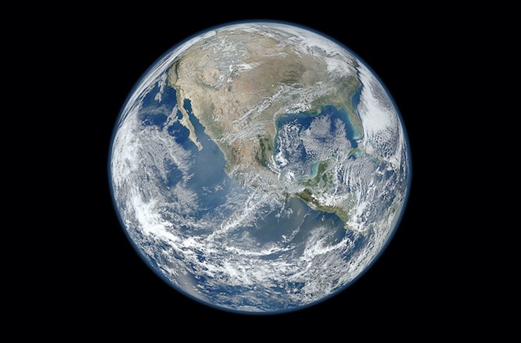
When scientists study the developmental history of Earth the time frames are broken down into geological eons and eras. Currently, we are in the Phanerozoic Eon which began 541 million years ago with the Paleozoic Era. Following the Paleozoic Era came the Mesozoic Era at 251 million years ago, and then the Cenozoic Era, the era we are now in, that began 66 million years ago. Each of these eras is further divided into periods and epochs to distinguish the changes that eventually led to the Earth we live in today. Right now we are in the Quaternary Period, the final time frame of the Cenozoic Era that began around 2.5 million years ago.
The Quaternary Period is marked by 3 major events, a drastic climate change, a massive lowering of sea levels, and the extinction of large animals like woolly mammoths. Cumulatively this led to the Earth’s landmasses achieving the positions in which we find them today, recognizable humans, and domesticated farming. It’s no wonder why scientists are keen to study life during the onset of the Quaternary Period to better understand human and geological development and survival. Alfonso Benito Calvo is the head of Geomorphology and Formation Processes at the Centro Nacional de Investigación sobre la Evolución Humana (CENIEH). CENIEH is a research center sponsored by a network of Spanish government branches that focus on the evolution of the Quaternary Period. It embraces a worldwide scientific community to utilize technology of the highest degree to unearth the mysteries of the past. Geomorphology is the study of how landforms are made through either biological, chemical, of physical forces.
Alfonso has learned that one of the best ways to study geomorphology is by enlisting the help of drones. As explained on CEHIEH’s website, the tasks undertaken in Alfonso’s lab “are focused on cartography, reconstruction and spatial analysis of geological and archaeological elements.” To be able to carry out their objectives, Alfonso uses a wide array of devices that can be attached to a drone for optimal results. Instruments like high definition cameras, GPS, and LiDAR scanners flown above a search site on a drone can give researchers never before seen images of geological development.
Recently Alfonso and his team used drones to conduct a geomorphological study of Roca dels Bous (RB) in Lleida, Spain, and the High Plateaus Basin (HPB) in Eastern Morocco. The study of both of these sites is key in understanding how humans developed and survived with changing landscapes. The images collected by the drones at the RB site indicated that “The landscape we see today is very different from that inhabited by the Neanderthals. Roca dels Bous was not a vantage point overlooking the valley, as on the contrary, the data indicate that it lay next to the valley bottom, and the Neanderthals had the resources offered by the Segre River floodplain, which was wider than it is now, to hand”, explains Alfonso.
Meanwhile, at the HPB site, the drones revealed an abundance of geological data and materials that led to the development of the lakes, wetlands, and valleys of the arid landscape. The images from the drones led researchers to find incredibly preserved remains that span a wide time frame of the early Quaternary Period. These archeological artifacts will be tremendous tools to explain human development in North Africa. How as hunters and gatherers the people adjusted to the changing landscape.
Alfonso and the entire staff at CEHIEH realize that without the modern conveniences like drone technology, researching the past would not be as successful. Drones have enabled researcher to look deeply into how our world became what it is today, and how it just might change in the future. As Alfonso said, “These studies are necessary to establish the relative chronology of artifacts according to their occurrence on landforms sequence, to reconstruct the processes operating in landscape during site formation and to model palaeolandscapes occupied by humans.” How humans survived the changes of the past will give us clues as to how our future generations should prepare to survives new geological changes.
|