
The First Time an Ancestral Puebloan has been Documented in Detail with the Help of a Drone
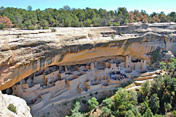
There are hundreds of Ancestral Puebloan communities scattered across the Four Corners Region of North America, Utah, Arizona, New Mexico, and Colorado. These sites date back to around 12BC. In the late 1880’s Richard Wetherill, a rancher and trader became one of the first Anglo- Americans to explore and study these ancient developments. Since then countless hours have been put into learning as much as possible about these original North American societies. For the most part archeologists and anthropologists have studied Puebloan culture manually, a very long process. This past year a group of researchers in New Mexico utilized a modern way to perform archeological surveying of a prehistoric Peubloan community.
A joint mission between the New Mexico Highlands University, the Navajo National Heritage and Historic Preservation Department, the New Mexico Forest and Watershed Restoration Institute, and DesertGate Internet Services of Las Vegas, New Mexico have successfully created the first aerial survey of an Ancestral Puebloan community with the use of a drone. This past May, Vick Evans from Highlands department of anthropology brought her students to the site in the Navajo Nation in Northwest New Mexico. There the field school took ground surveys of the structures, a first for this particular site. “The site is an Anasazi Pueblo dating approximately from the 5th to 14th centuries based upon the pottery shards we found. There were also signs of agricultural field houses and a large ceremonial kiva up on a hillside,” Said Evans.
After the initial survey, Evans and her students wanted to find a way to get more in depth information on the site. So they turned to drones to get the job done. Katie Withnall from the New Mexico Forest and Watershed Restoration Institute with the help of wireless provider DesertGate Internet Services of Las Vegas, New Mexico got hold of a drone form the university. The goal was to fly the drone with a camera over the site to see if they could gather more information. The results were amazing. Jeremy Begay served as a representative from the Navajo National Heritage and Historic Preservation Department on this project. He said, “The aerial video gives us information on things we couldn’t see on the ground such as the overall site layout of this prehistoric Anasazi Pueblo. The video and maps are important for preservation and the future land management of the area.”
The drone that was used for this project was a senseFly eBeeX. The senseFly is a lightweight fixed winged drone built by the Parrot Group. With a 45.7″ wingspan the drone, depending on what type of camera is used, weighs no more than 3.1lbs. This allows the drone to have record long flight time resulting in better mapping capabilities. While most drones can only be airborne for 20-30 minutes, the senseFly boasts an hour long flight time. As described on their website, “The senseFly S.O.D.A. 3D mapping camera is a unique innovation. This professional drone photogrammetry camera changes orientation during flight to capture three images (2 obliques, 1 nadir) every time, instead of just one, for a much wider field of view.”
After the drone’s flight Withnall compiled the nearly 1,500 images taken of the site. “Then I used a specialized software to mosaic the photos into one large site map. The digital map reveals the surface terrain of the archaeological features,” she said. This was the first time an Ancestral Puebloan site had been documented with such details. The data collected will go a long way to helping us better understand the lives of those who first lived in North America’s Four Corners. Evans and Begay plan to present the findings from the manual and drone study at the Southwest Symposium in Tempe, Arizona in January 2020. Already the two are making plans to bring another field school to the same site this coming summer to gather more data. Begay went on to say, “It’s very fruitful for both Highlands and the Navajo Nation, and has the potential to grow into something larger.”
|