
Thermal Imaging Drones Are Saving Lives in Diverse Missions
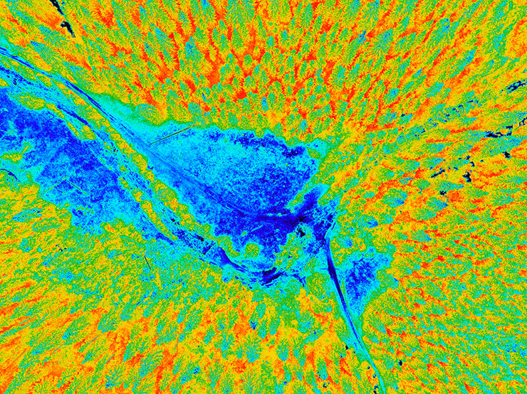
Thermal imaging technology has long been associated with the need to inspect electric power grids. Thermal imaging cameras allow field inspectors to identify subtle temperature changes and evidence of “delamination” – or splitting and fraying – in power lines that could prefigure an outage or spark a raging fire. Grid inspections are laborious, expensive and pose real safety risks, but when companies fail to conduct them, real trouble can ensue. The recent wildfires in Maui, which killed several hundred people, and which have been linked to faulty grid inspections, show just how severe the consequences can be.
Fortunately, these days grid inspectors need not go out into the field on foot to detect potential signs of decay. Instead, thanks to another major breakthrough in technology – unmanned aerial vehicles, or drones – they can affix thermal imaging cameras to a remotely piloted aircraft and simply fly over a grid to identify potential signs of decay in a manner of minutes. These inspections aren’t just faster and cheaper, they’re also safer and more complete, reaching the highest elevations of a grid that might be inaccessible to inspectors relying on cranes or ladders.
Thermal imaging technology is also playing an important role in law enforcement operations. A growing number of police and fire departments are acquiring drones with thermal imaging cameras to identify fleeing criminal suspects and lost or missing persons, especially at night, based on their heat signature alone. In the case of lost or missing persons, first responders might spend days looking for a backpacker lost or injured while hiking in the woods or an elderly person or child that had wandered off unattended. In some cases, the person might not have been found until they had succumbed to the elements. With a drone, and a FLIR camera, police often find such a person in an hour or two, based on a rough estimate of their likely location, and a carefully conducted grid search.
The same applies to searches for fleeing criminal suspects who are deliberately seeking to avoid detection and capture. Many attempt to hide in forests, houses or behind other physical obstacles that make their detection difficult. In a drone operation conducted just last week in Eugene, Oregon, the local police department was able to find a suspect who was hiding under cover in a ditch, using its FLIR camera to zero in on the suspect’s body temperature. “We might never have found this guy if we didn’t have a thermal imaging drone at our disposal,” the Eureka police chief told the Eurel media last week.
Fire-fighting operations can also benefit mightily from thermal imaging cameras that can zero in on hotspots to allow first-responders to better predict a blaze’s likely trajectory and target their fire suppression resources accordingly. The same cameras can also identify those trapped inside a fire and direct rescue news to their assistance. And with keener “eyes in the sky,” first responders can limit their own direct exposure to flames and better protect themselves from harm.
Where can these life-saving drone thermal imaging resources be found? China-based DJI, the world’s leading UAV supplier by far, manufactures some of the best drones equipped with thermal imaging software, including the Mavic 3 Enterprise Advanced, a compact and lightweight drone especially well-suited to search-and-rescue and public safety missions. DJI also sells the Matrice 30T, which is larger and more rugged, with advanced sensors and dual-stick control system that makes it ideal for infrastructure inspections and other commercial uses.
But don’t neglect San Mateo, CA-based Skydio’s new X2 drone, which may have the most advanced sensor and thermal imaging technology currently available on the drone market. The system is designed for application across multiple niches and has the added advantage of being compliant with the new federal NDAA guidelines favoring domestic US drone manufacturers over foreign ones.
In 2020, Fortune magazine estimated the thermal imaging market at $2.27 billion as of 2017. However, the market is projected to nearly double in size to $4.10 billion by 2027. Expect new drone players to enter the market, as the demand for new and ever more sophisticated thermal imaging capabilities continues to expand across a growing number of niches to include agriculture, mining, conservation, humanitarian relief and disaster assistance.
|