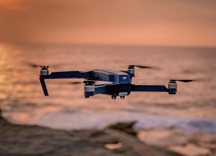
Unmanned aerial vehicles (UAVs) are conducting far-flung missions on every continent these days. Some are surveying damage to rainforests in South America; others are tracking endangered wildlife in Australia; still others are delivering badly needed medical supplies to remote villages in Africa. Whatever the need, and the locale, drones are proving they can do the job faster and more safely than manned vehicles, and often at a fraction of the cost.
But mission success is not guaranteed, drone veterans say. In real-world settings, drone companies and their pilots need to develop situational awareness of the precise conditions in which they will be flying to anticipate problems and adjust their flight plans as needed. Failure to do so can cause even the most well-intentioned drone mission to go awry, wasting valuable time and resources, and in some cases, causing injury and loss of life.
What are some of the most important real-world considerations? According to the Drone Research Group at the University of Exeter, there are at least 5 to consider. They include:
Checking airspace availability. Airspace regulations vary from country to country and are often modified on short notice. In many developed countries, there are databases with detailed information on airspace restrictions – for example, Notices to Airmen (NOTAMs). In addition, some mobile applications offer near-real-time information on the location of other airspace users. However, in less developed countries, you may have to ask around and consult pilots with recent flying experience. Local air traffic controllers might also be contacted to determine the actual airspace conditions (including unscheduled temporary restrictions) on the specific days of your planned flights.
Conducting a site check. It sounds obvious before flying you should always conduct a site check — first, remotely, using available GIS data, and again, once you’re on-site. Identify your best take-off and landing locations, and have a contingency plan in place if you need to reschedule your flight. In areas of heavy tree canopy, there may be obstructions at lower levels that are not immediately apparent. In general, you might conduct a preliminary high-altitude reconnaissance flight in your area of interest to identify possible obstacles. Collect image data in the field to determine the appropriate altitude and flight pattern for your ensuing flights.
Monitoring weather conditions. Wind and rain but also dust and other possible sources of interference can wreak havoc on your drone flights. These conditions can be complex and ever-changing. Flying over land and ocean can expose a flight to sudden sea breezes as well as wind shear conditions over high cliffs. In desert areas, extreme localized heating of the ground surface can occur, giving rise to spinning columns of high-intensity wind known as “dust devils.” Dust particles in dry sandy areas can lead to the erosion of moving parts and damage sensors. It is advisable to carry a hand-held anemometer to check the current wind speed range and whether your drone is equipped to handle it. Some drone pilots have been known to attach cameras to kites to better handle sudden extreme changes in wind conditions.
Positioning Back-Up Equipment. In remote areas, obtaining replacement hardware or software may be next to impossible. Above all, there may be no way to recharge your batteries, which typically have limited life. Carrying multiple replacement batteries and spare parts for all your major platform components is advisable. Include a battery checker, a basic toolkit, a soldering kit, electrical tape and cable ties, and even replacement propellers in the event of unforeseen collisions. Some UAV pilots advise having a fully operational low-cost replacement drone stored at a nearby field base to provide additional assurance that your mission will succeed.
|