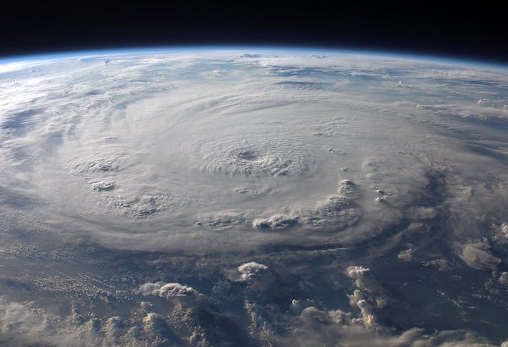
In the aftermath of Hurricane Harvey in 2017, emergency and utility crews began using drones to assess the damage left in the wake of the category 4 storm around the Texan and Louisiana areas. These drones proved to be such an invaluable tool in hurricane relief efforts that when Hurricane Florence made landfall in 2018, the North Carolina Department of Transportation ran over 260 drone missions. These missions focused on assessing damage, locating survivors, delivering supplies, and reporting road obstructions to emergency response officials. As the approach of Hurricane Dorian, a category 5 storm, drew nearer drone operators in the area of the Bahamas got ready.
DJI, the world’s largest drone manufacturer, sent out a call to drone pilots in the region to properly prepare for the storm. The most important message they sent out was to warn any non professional operators to stay out of the air. Too many times curiosity gets the better of people and they venture out with drones at times in which flight is prohibited. These flights impede in drone missions being carried out by FAA authorized emergency and media pilots. This mirrored a statement released by the FAA, “Alert for #drone pilots near the projected path of #HurricaneDorian2019. Do not fly your drone near or around areas impacted by the storm. You may be fined $20,000 if you interfere with #emergency response flight operations. #FlySafe.” For those pilots authorized by the FAA to fly in relief efforts during and after the storm, DJI also made some other crucial reminders.
They urged authorized pilots to have all their batteries charged and ready to go. They also reminded them to go to the product pages of whatever drone they are operating and download all the latest firmware versions in advance of the storm. The likelihood of power outages and connectivity issues would be high after the storm. Having all available drones ready before such issues arise is necessary. DJI also took measures to unlock geofencing restrictions for drones operated by emergency and utility officials from Florida to prepare for relief missions.
In the days following Hurricane Dorian drones did indeed prove to be a vital tool. Airborne International Response Team (AIRT) and the Southeast Florida Region 7 All-Hazards Incident Management Team, both based out of Florida (SEFL-R7 AHIMT), joined forces to survey the damage to the Grand Bahama and the Abaco Islands in the Northern Bahamas. What their drones uncovered was unthinkable devastation. Nigel Baker, Team Coordinator and Incident Commander of SEFL-R7 AHIMT, made a statement on the footage seen with the drones. He said, “We saw first-hand the damage that this hurricane leveled upon the Bahamas. The combination of massive storm surge and fierce Category 5 winds was more than most structures could bare, no matter what code they were built under.” They quickly coordinated with the Bahamian government and began assisting with unloading supplies for relief efforts. Then it was back into the air to begin taking assessments for officials.
The data collected by drones in the chaotic, hurricane ravished environment allowed rescuers to get aid to people in need quickly and properly map the damage. Christopher Todd, Executive Director, AIRT said, “The debris field at Marsh Harbor was unlike anything I have ever seen. By combining the drone with the latest rapid mapping technology, we were able to produce a highly accurate and incredibly detailed digital map of the hardest hit areas of Marsh Harbor and other towns. Beyond just search and rescue and damage assessment missions, these types of systems will help us provide a better understanding of what exactly happened, why it happened, and how it might be prevented from happening again in the future.”
Work to rebuild the Bahamas has yet to unfold. Emergency response and utility teams still have a lot of work to do before that can happen. As Mario Rebello, DJI Vice President and North America Regional Manager said before Hurricane Dorian hit, “First responders and utility companies today rely on drones to help people during emergencies, and DJI expects our products will play a critical – even lifesaving – role in responding to this looming disaster.” He couldn’t have been more right. Drones are the tool that are making the difference in rapid relief from disasters around the world.
|