Using Drones to Help Fight Forest Fires

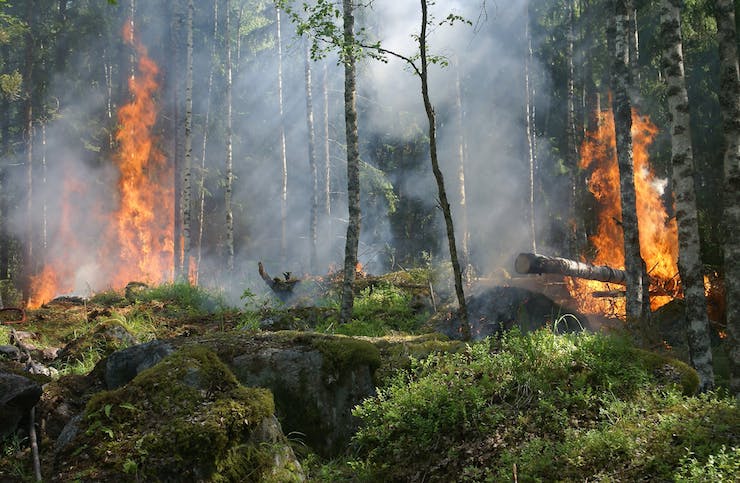
As we near the summer solstice on June 21st, many areas of the world are starting to prepare for one of the biggest dangers that face their communities this time of year. Due to extreme heat and drought summer time is peak season for wild fires. In 2018 the state of California alone suffered a record number of 8,527 fires. These fires led to the destruction of 1,893,913 acres of land. Once a wild forest fire starts, getting ahead of it and stopping it can sometimes seem impossible. Nearly all forest fires are started from human error, and should therefore be preventable. In 2018 statistics showed that throughout Europe, Spain suffered more wild fire damage than any other European nation. In an effort to change this, Spain’s Ministry of Agriculture and Fisheries, Food and Environment has just announced a new program to help prevent and combat forest fires.
As part of Spain’s €85 million budget for fighting forest fires this year, they plan to use the combined efforts of four drones and a new information system. More than 1,000 individuals from the Universidad Carlos III de Madrid (UC3M), Telefónica, Divisek, and Dronitec will be working together to see this innovative fire prevention program come to life. The drones will be used to monitor areas that are prone to forest fires. The information gathered by the drones will then be relayed through emergency information channels.
Fernando Garcia, a professor at UC3M stated, “The drone we have developed for the project has a thermal camera, an optical camera, and four sensors which allow us to identify the temperature of the device in the environment, the drone’s different controllers enable us to determine the internal state of the equipment and the communication system is provided by Telefonica to receive this information in real time.” Communication towers are set up throughout a designated area that have a hanger to house the drone. These towers have the ability to sense the start of a fire from within a 15km radius. Once a fire is sensed, the thermal sensor on the drone can locate the exact location of the fire. The drone will then autonomously fly to the location of the fire, regardless of hazardous environmental conditions. Next the drone will relay real time optic and thermal images of the fire back through the emergency information network. Finally, the drone will return to it’s communication tower hanger to recharge.
Tools like this can make the difference between a small forest fire or one that rages through hundreds of acres of land by providing firefighters with the exact intelligence needed to get ahead of the fire. One of the UC3M researchers involved said, “It’s a totally novel solution, based on robotics and automation, which won’t remove anyone’s job, but will instead offer a new tool for emergency services, providing added value and allowing them to operate more safely and to control the situation.” The goal is to use technology and information to stay ahead of danger and help make better decisions to protect areas.
|