
Using Drones to Measure Glaciers
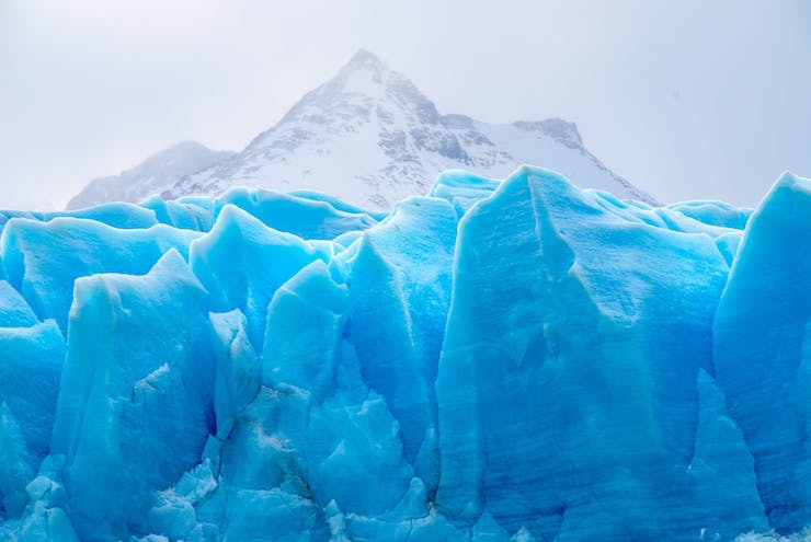
Glaciers are massive structures of ice that can take centuries to form. They are in a constant state of motion and change. The rate at which this happens depends on the friction in the area. Some glaciers move faster than others, but they all move relatively slowly. But recently the rate at which glaciers move and change has increased due to global warming. Change in global weather has effected the occurrence of jökulhlaups.
A jökulhlaup is an Icelandic term used to describe the sudden outbursts from glaciers, glacial floods. They are caused from geothermal warming that triggers a large ice mass to essentially spring a leak. In 2011 the Mendenhall Lake and River in Alaska were flooded when a jökulhlaup first took place, and it has continued to take place every summer since. This created the area known as the Suicide Basin. The layout of the area starts with Suicide Glacier that hangs over Suicide Basin flowing into the Mendenhall Glacier, which than leads to the Mendenhall Lake and River. Around 30 years ago Suicide Glacier split in two which some believe helped lead to the annual jökulhlaup that happens there now.
Scientist have been monitoring the conditions in the basin. One group of researchers from University of Alaska Southeast have begun to use drones to help better gather data on the basin. Christian Kienholz is one of the professors working on the project and is grateful for the help the drones are providing him in monitoring the ice and water levels constantly changing in Suicide Basin. As a professor he is not only using the drone to conduct his environmental research, but is teaching his students how to operate and use a drone to gather data.
Kienholz said, “The whole glacier is thinning, it changes year to year, so we’re using drones to measure how fast the ice dam is thinning because that affects the volume of water that can be stored behind the ice dam.” The drones are flown over the area in a grid like pattern. Specialized software is then used to transform the images captured by the drones into digital elevation models and photo maps. Once a series of maps and models are compiled they are compared to take measurements of the volume of ice in the basin, the lowering of the ice dam, and how much less water is left in the basin after a flood happens.
Kienholz has been collaborating with the United States Geological Survey (USGS) to learn as much as possible to the causes and effects of jökulhlaups in Suicide Basin. The drones have proven to be a critical tool in the collection of this data, but they aren’t the only tools being used. Kienholz said, “We’re doing all the drone work and elevation models, but then we use all the USGS products to actually analyze it more in depth. We’re tracking it over time and seeing how the water is going up using camera images.” It is through the use of all available technologies that scientist are able to get a complete image of the actual condition of Suicide Basin, Suicide Glacier, and Mendenhall Glacier, Lake, and River.
|