
Using Drones to Predict the Weather
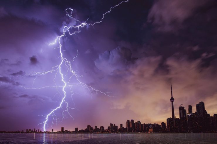
How many times have you checked the weather before going to bed, only to wake up to conditions that are the opposite of what was predicted. The study of meteorology is a famously imprecise one. Weather data is hard to collect and is constantly changing. But one meteorology professor is extremely optimistic as to the results he can gather using a network of drones.
Phillip Chilson recieved his B.S. from Clemson University and his M.S. from The University of Florida. He then returned to Clemson University where in 1993 he got his Ph.D. In 2005 he joined the School of Meteorology & Atmospheric Radar Research Center at the University of Oklahoma. As a professor there he has developed a dream of how he sees drones shaping the study of meteorology.
One of the most difficult areas to gather atmospheric data from is the earth’s boundary layer, only about a mile or so above ground, as this area is in a constant state of change. He envisions a collection of 30 foot towers with coordinating ground stations spread throughout the country. Every few hours drones would be launched from the towers to collect data on wind speed and direction, temperature, humidity, and air pressure. The drones would automatically transmit the data to the ground stations to be analyzed by forecast computed models. If the drones sense any abnormalities in the atmosphere, like a gathering storm, more drones can be launched to gather further data.
Flying drones in inclement weather can be very challenging though. Which is why Chilson aims to use small expendable drones. It is key that the drones be not expensive because in all likely hood they will be destroyed with every storm they encounter. But it is with the information collected by these small drones in combination with data collected from satellites and weather balloons that should allow meteorologists to create more accurate weather predictions.
How far into the future a system like this will be likely is not clear. According to Chilson, they are still a long way off from perfecting it. But once it is ready it can have a great impact. Chilson sees his research being able to help farmers better plan and protect their crops. He sees it as a means of assisting firefighters detect wind patterns in wild fires. He even sees it as a way of helping consumers be able to receive drone delivery packages reliably.
As of now, there is still a lot of research to be done to create a functioning program. The FAA is also reluctant to grant permission for drones to fly that high in the atmosphere, or out of line of sight. However, Chilson has said that the FAA is “kind of stretching their wings a little bit and going outside of their comfort zone, but in very regulated airspaces”. Hopefully all parties involved can come to a resolution that can make this project a viable one.
|