Each day, the world depends on huge amounts of energy to run smoothly. We take for granted just how much is needed to power all the devices we use from smartphones and microwaves to street lights and hospitals. According to the U.S. Energy Information Administration, “In 2020, total U.S. primary energy consumption was equal to about 92,943,042,000,000,000 Btu, or about 93 quadrillion Btu.” The majority of these energy sources came from petroleum and natural gases, with only 12% harvested from renewable sources. The abundance of the world’s dependency on fossil fuels has led to an energy crisis, drastically impacting climate change.
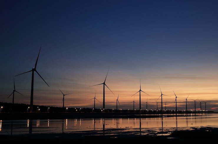
World leaders have committed to establishing clean energy solutions to reverse climate change and enable a sustainable future. On Tuesday, May 12, 2021, the Biden administration announced plans for the United State’s first major offshore wind energy plant with Vinyard Wind. The goal is to build an 800 megawatt wind farm consisting of 84 wind turbines. The $2.8 billion project will be constructed 15 miles off the coast of Nantucket, Massachusetts, and supply enough energy to power 400,000 homes.
President Biden has set a goal of reaching zero carbon emissions by 2035. As Secretary of the Interior Deb Haaland said, “A clean energy future is within our grasp in the United States. The approval of this project is an important step toward advancing the Administration’s goals to create good-paying union jobs while combatting climate change and powering our nation.” By 2025, the Biden administration hopes to have another 16 offshore wind projects in the works. However, planning the placements of these wind farms is far more complicated than those found on land.
The giant wind turbines need to be strategically placed to ensure vessels can safely navigate through them. Their construction also has to take into account the lay of the seafloor. Before construction begins, a detailed map of the seafloor is needed. Traditionally this is done with sensors onboard a ship, a very time consuming and costly method. Bedrock Ocean Explorers aims to streamline the process of mapping the ocean for endeavors such as wind farms.
Founded in 2020 by Anthony DiMare and Charles Chiau, Bedrock’s mission is to provide free accurate maps of the ocean while protecting marine life. They want to make sure that ocean exploration and the use of its resources are done right. To do this, Bedrock has developed autonomous drones and a cloud based data platform. The electric powered drones can travel up to 56 miles from shore and reach depths of 1,000ft, making them ideal for surveying wind farm sites. “Offshore wind projects usually require anywhere from 3-6 surveys before construction can even begin,” Anthony explained. “With Bedrock’s survey AUVs that time is dramatically reduced, sometimes by up to a factor of 10. The operational capabilities of our AUV system, plus our survey agnostic cloud platform Mosaic, we can help accelerate offshore wind turbines development.”
Once a safe construction plan is established, Bedrock’s drones can be used to supply regular inspections, a necessary element in an energy farm. As tidal currents often change the layout of the ocean floor, these surveys are even more critical for offshore wind farms. With Bedrock’s drones relaying real time data through the Mosaic platform, projects like Vinyard Wind can be completed on time and maintained in a cost effective manner. Drone technology contributing to renewable energy sources can make reaching a zero carbon emissions goal a reality.
|