Xcel Energy Becomes the First to Fly a Drone Beyond Visual Line of Sight
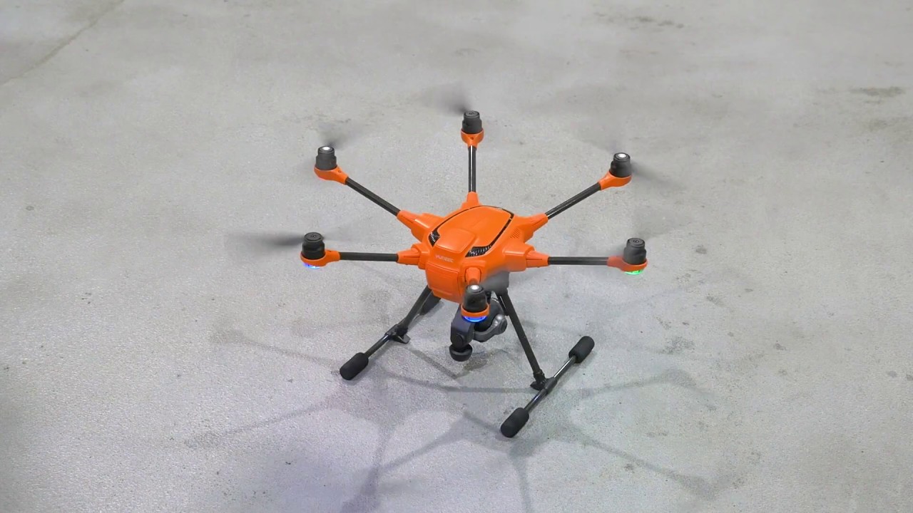
On September 12, Xcel Energy became the first company ever to fly a US utility drone Beyond Visual Line of Sight (BVLOS) during ongoing inspections. The drone was launched to inspect power lines in Platteville, Colorado near the Fort St.Vrain Generating Station. The company launched the 35-pound drone which was equipped with two high quality... Read More
Service Type: Location: View Contents:


