
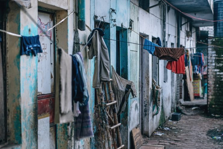
Drones Being Used To Monitor Slums In India
Officials from Lagos to Mumbai are using satellites and drones to identify and monitor slums and other informal settlements. There are still millions of people living in slums around the world. However, governments have always found it difficult to map informal settlements mainly due to the lack of planning when people are constructing their homes.
To help with the mapping and monitoring of these slums, Indian states have turned to satellites and drones in an effort to speed up the process of service delivery and registration of land titles. The state of Odisha is planning on awarding 200,000 titles to households in urban slums and also those on the outskirts of its cities by the end of this year. The officials used drones during the mapping process and the results have been promising.
According to G. Mathi Vathanan, the commissioner of the state housing department, the drones are helping them perform tasks that used to take them years in just a couple of months. One of the major problems facing the Indian Lands sector is the lack of up to date records. Land records across India date back to the colonial era, and most holdings have uncertain ownership, which leads to fraud and lengthy land disputes that usually end in court. The drones are also coming in handy for officials in Mumbai where about 60 percent of the population lives in slums. Maharashtra state, where Mumbai city is located, is also launching similar efforts to help with the mapping of rural land holdings.
A 7 year study that concluded recently in the city of Bengaluru relied on satellite imaging and machine learning. About 2,000 informal settlements were recorded, compared to less than 600 in the current government records. This is a huge shortfall which can lead to problems like inadequate provisions of key resources such as water, electricity, sanitation, and others. According to Nikhil Kaza, a professor at the University of North Carolina, understanding human settlement patterns in urban areas is vital because of the stress on public utilities and civic resources. Geospatial analysis helps identify stress zones which allows authorities to focus on localized areas.
According to the UN, about a third of the world’s population in urban areas lives in informal settlements. Identifying and monitoring slums using traditional methods like door to door surveys is time consuming and no longer cost effective. It is now time for governments to embrace drones as the best way to find out what’s really going on in the slums so that they can finally improve living conditions.
|