
Commercial Land Photography
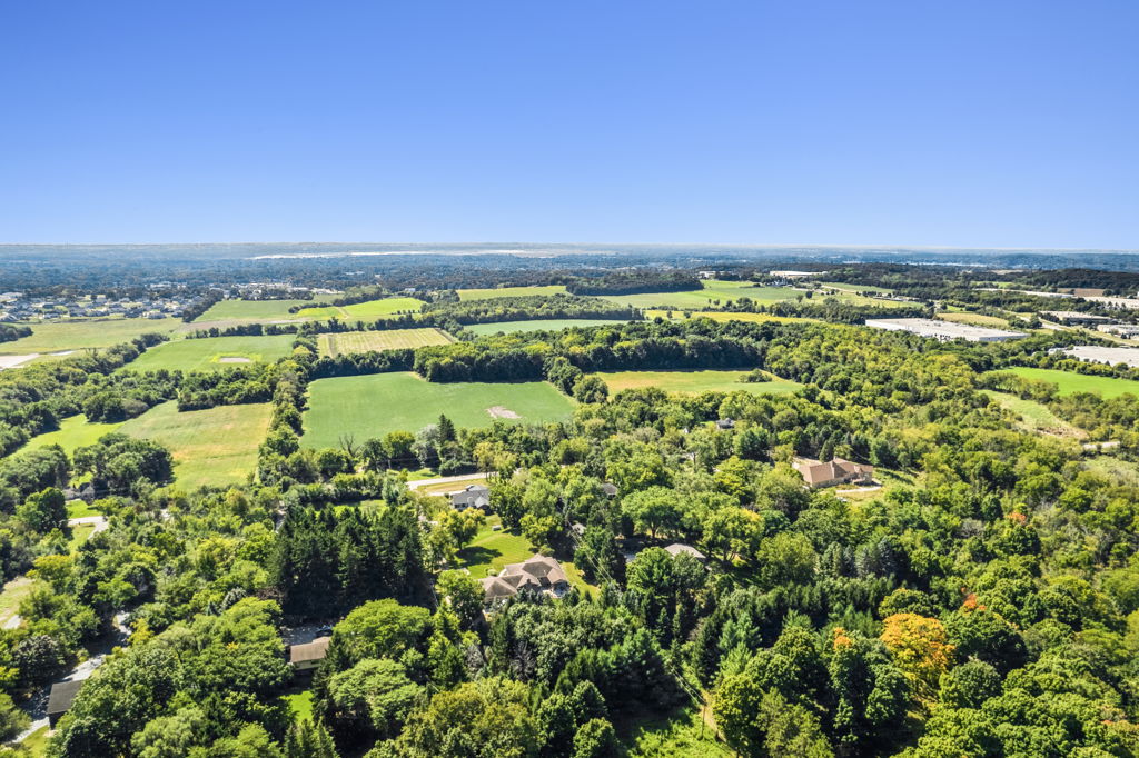
Commercial land is one of the hardest property types to market without aerial photography. Ground-level shots cannot communicate parcel boundaries, topography, road frontage, surrounding development, or the relationship between the land and adjacent infrastructure.
Whether you are selling a two-acre pad site or a 500-acre master-planned tract, our drone photography captures the site from every angle that matters: highway visibility, utility access, adjacent land uses, and surrounding growth patterns. Clear aerial imagery accelerates the sales cycle.
- Industrial and commercial development land
- Residential development parcels and subdivisions
- Mixed-use and master-planned land sites
- Highway frontage and infill land parcels
- Large acreage and agricultural investment land
- Photos in 3 business days, video in 5
- Flat-rate pricing, all 50 states, zero travel fees
- CEO reviews every project before delivery
Industrial Zoned Land
Development-Ready Parcels
Industrial zoned land supports future distribution, manufacturing, and logistics development. Aerial photography captures parcel size, road frontage, highway access, utility corridors, and adjacent industrial uses.
Ground photography documents road access points, utility connections, and site conditions. For entitled parcels, aerial imagery shows how the site relates to highways, rail corridors, and nearby industrial clusters.

Ready to order industrial land photography anywhere in the US?
Order NowCommercial Development Land
High-Visibility Parcels
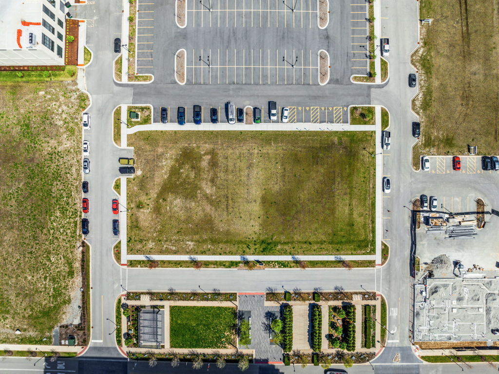
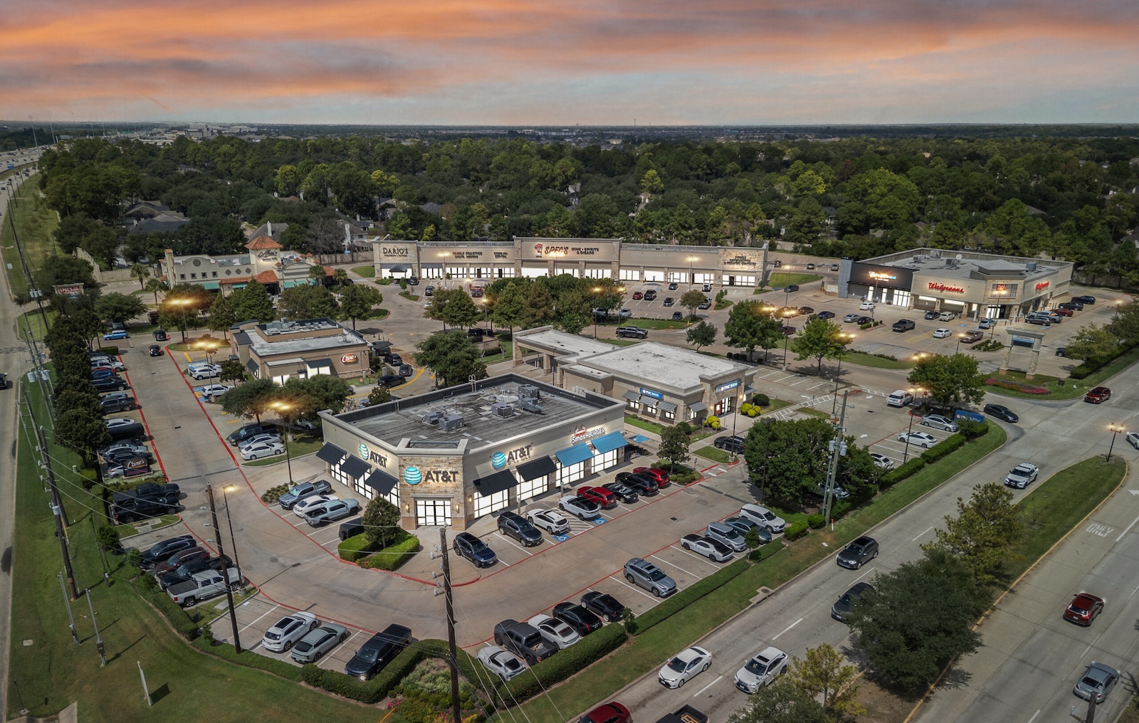
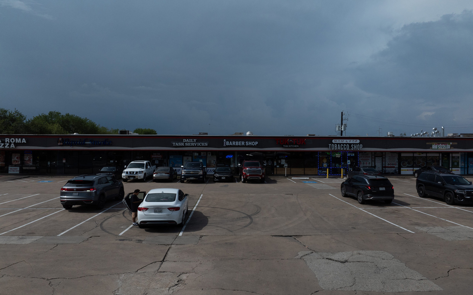
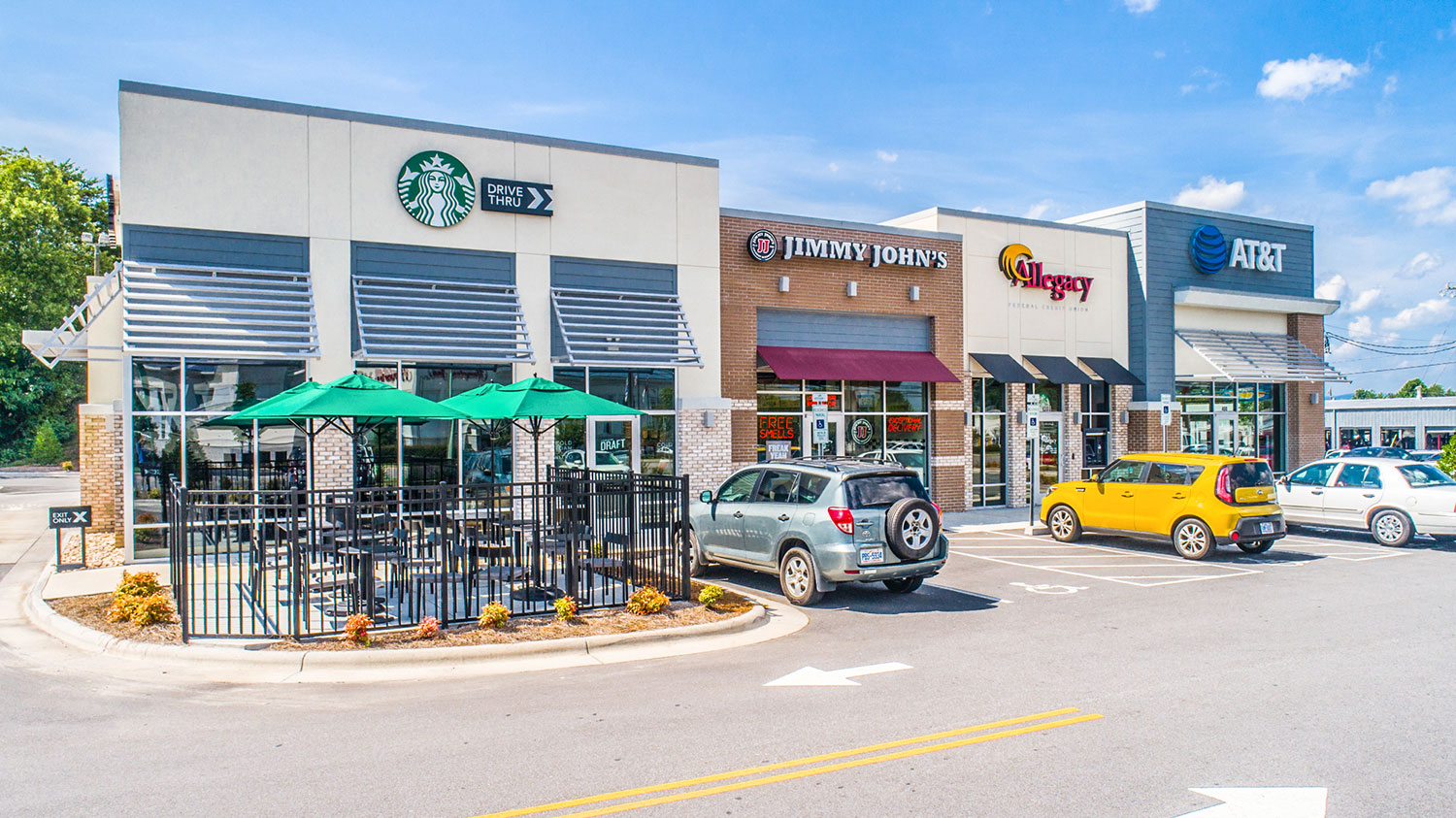
Commercial development land targets retail, office, and mixed-use builders seeking high-visibility locations along major roadways. Aerial photography captures road frontage, traffic counts context, intersection proximity, and the surrounding commercial ecosystem.
Ground photography documents access points, existing signage, and site conditions. For commercial pad sites and outparcels, aerial imagery communicates the visibility and access that attracts national tenants and franchisees.
Ready to order commercial land photography anywhere in the US?
Order NowResidential Development Land
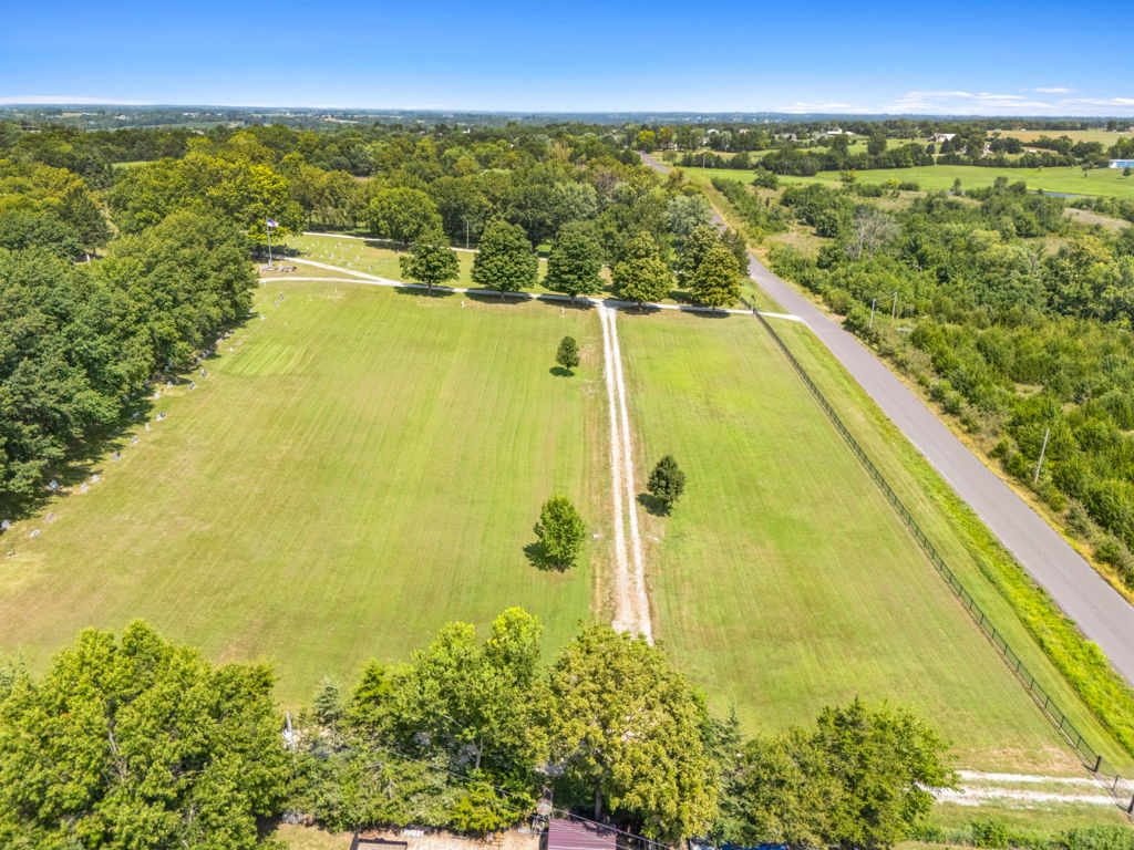
Future Housing Sites
Residential development land is marketed to homebuilders, master-planned community developers, and institutional investors. Aerial photography captures parcel boundaries, topography, surrounding neighborhoods, school proximity, and transportation corridors.
Ground photography documents street access, existing site conditions, and natural features such as tree cover, water features, and elevation changes. For large residential tracts, aerial imagery at high altitude captures the full acreage and surrounding growth corridor.
Ready to order residential land photography anywhere in the US?
Order NowMixed-Use and Master-Planned Land
Multi-Phase Development Sites
Mixed-use and master-planned development land requires aerial photography to show the full scale of the opportunity, surrounding infrastructure, and how the site fits within its growth corridor. High-altitude imagery captures parcels that may span hundreds of acres.
Ground photography documents access roads, utility connections, and any existing improvements. For master-planned developers, aerial imagery supports entitlement presentations and investor marketing.
Ready to order mixed-use land photography anywhere in the US?
Order NowHighway Frontage and Infill Land
Visibility-Driven Sites
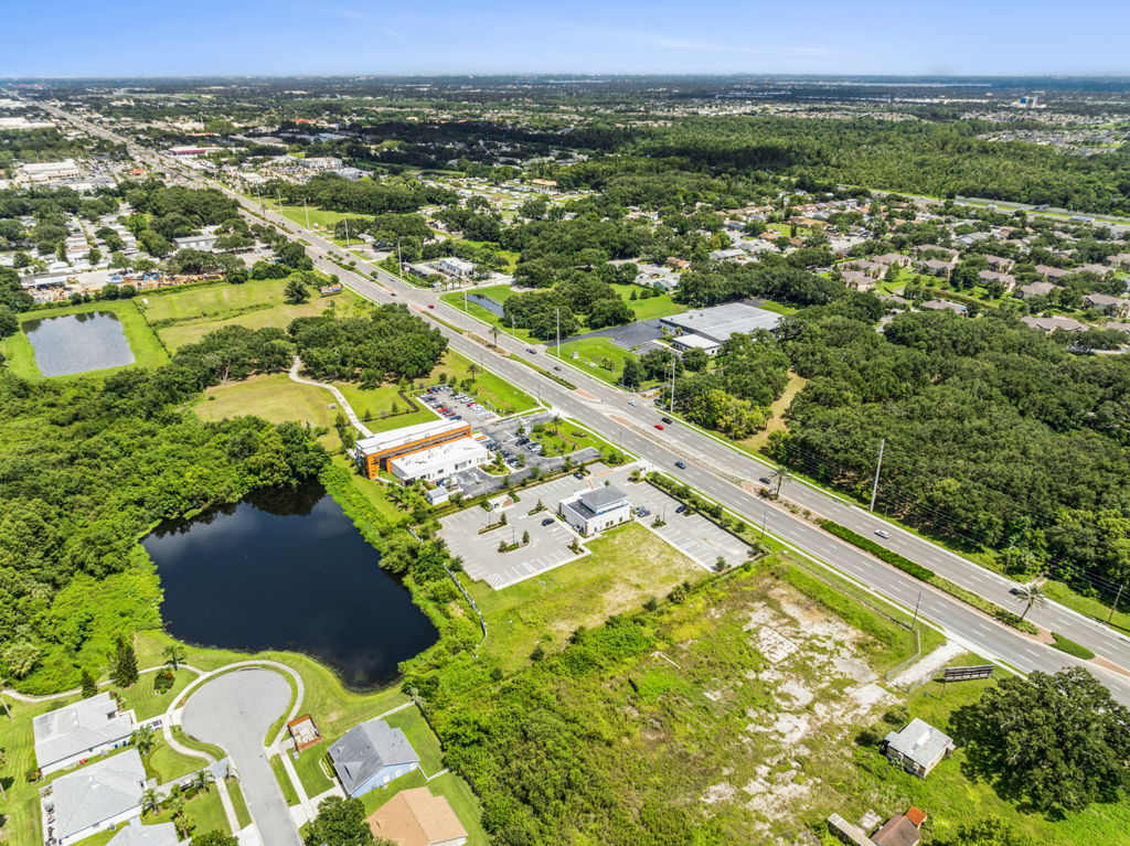
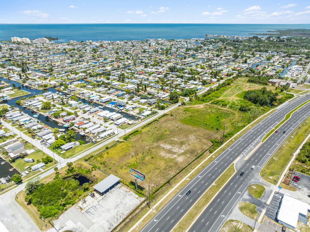
Highway frontage and infill parcels command premium pricing based on traffic counts, signage visibility, and proximity to existing development. Aerial photography captures the parcel’s relationship to highway interchanges, signalized intersections, and surrounding commercial density.
Ground photography documents road access, existing conditions, and any improvements. For infill developers, aerial imagery communicates the last-remaining development potential within established commercial corridors.
Ready to order highway frontage land photography anywhere in the US?
Order NowUndeveloped and Entitled Land
Development-Ready Sites
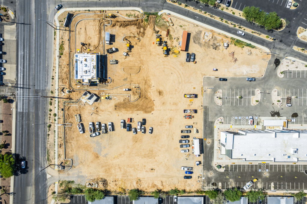
Undeveloped and entitled land parcels are ready for construction once permits and entitlements are secured. Aerial photography documents current site conditions, surrounding development, and the physical context that supports zoning and entitlement applications.
Ground photography captures access points, drainage, and any environmental features. For entitled parcels, aerial imagery shows the development-ready status of the site relative to surrounding infrastructure.
Ready to order undeveloped land photography anywhere in the US?
Order NowLarge Acreage and Investment Land
Long-Term Hold Sites
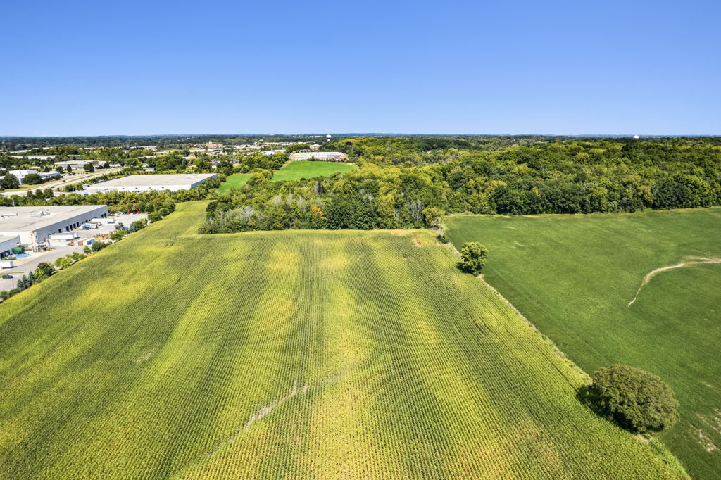
Large acreage tracts and investment land require high-altitude aerial photography to capture the full extent of the property. These sites often span hundreds or thousands of acres where ground-level imagery cannot convey scale or development potential.
Aerial photography captures property boundaries, terrain features, road access, adjacent land uses, and broader geographic context. For land investors, photography communicates road frontage, water features, and subdivision potential.
Ready to order large acreage photography anywhere in the US?
Order NowSolar, Green, and Utility Land
Purpose-Built Energy Sites
Solar farms, wind energy sites, and utility land require aerial photography that documents sun exposure, terrain grade, transmission line proximity, and the overall suitability for energy generation. These parcels often require views at multiple altitudes to communicate scale.
Ground photography documents access roads, utility infrastructure, and any existing improvements. For solar developers and utility investors, aerial imagery supports site evaluation and financing presentations.
Ready to order solar or utility land photography anywhere in the US?
Order NowCampgrounds and RV Parks
Recreation-Oriented Land
Campgrounds and RV parks are recreation-oriented land assets that require aerial photography to capture site layout, pad density, amenity areas, and the surrounding natural environment. Aerial imagery communicates the recreational appeal and operational capacity of the property.
Ground photography documents individual pads, bathhouse facilities, activity areas, and entrance quality. For campground investors and operators, professional imagery supports both consumer marketing and investment sales.
Ready to order campground or RV park photography anywhere in the US?
Order NowPlaygrounds and Outdoor Recreation Sites
Community Recreation Land
Public playgrounds, community parks, and outdoor recreation sites require aerial photography to capture the full site layout, equipment placement, parking, and the surrounding neighborhood context. Aerial imagery communicates the scope of the recreation area and its accessibility.
Ground photography documents individual play structures, surface conditions, fencing, and ADA accessibility. For municipal clients and recreation developers, professional imagery supports grant applications, community presentations, and facility marketing.
Ready to order recreation site photography anywhere in the US?
Order NowWant To See Real Delivered Work?
Browse our full sample archive, organized by all 50 states and updated daily
Trusted by the Largest CRE Brokerages
See why the largest CRE companies in the U.S. trust our services. Since 2016,
we’ve photographed over 30,000 properties, delivering the quality, consistency, and reliability you can count on.


How It Works: Choose Your Package
Every land shoot starts with choosing the right package. Photos only, or photos combined with video. Both are delivered within days, with flat-rate pricing and zero travel fees.
Photos Only Package
High-resolution photos covering your property from every angle. This includes Ground Photos, Roof Height Photos, 100ft Photos, 400ft Photos, and Eagle Eye (pointing straight down).
What your photos will include:
Ground Photos
Roof Height Photos
100ft Photos
400ft Photos
Eagle Eye Photos
From All Angles
- Professional photo editing included
- Blue sky replacements on all photos
- 1 free Virtual Twilight with all orders
- Free hosted galleries included
Video + Photos Package
Everything in the photos package, plus a professionally edited 4K drone video with property branding, royalty-free music, and digital property outline overlays on high-elevation shots.
Everything in photos package:
Plus video:
Replace with land drone video
Receive a full cinematic video of your property
- 4K drone video, professionally edited
- Royalty-free music included on all videos
- Digital property outline overlays
- Branded and unbranded versions
Optional Add-Ons for Commercial Land Photography
Every package can be customized at checkout. Add only what you need.
3 Things Every Commercial Land Photography Package Receives, Free
Every commercial real estate photography package includes these three features at no extra cost. No upgrades needed, no extra charges.
Virtual Twilight
Our “Virtual Twilight” turns DAY into DUSK, delivering dynamic, vibrant skies with full illumination for all lights, signage, and building details. Transforms any daytime photo into a vivid dusk scene that makes your property stand out in any listing or marketing package.
View Twilight Samples »Blue Sky Replacement
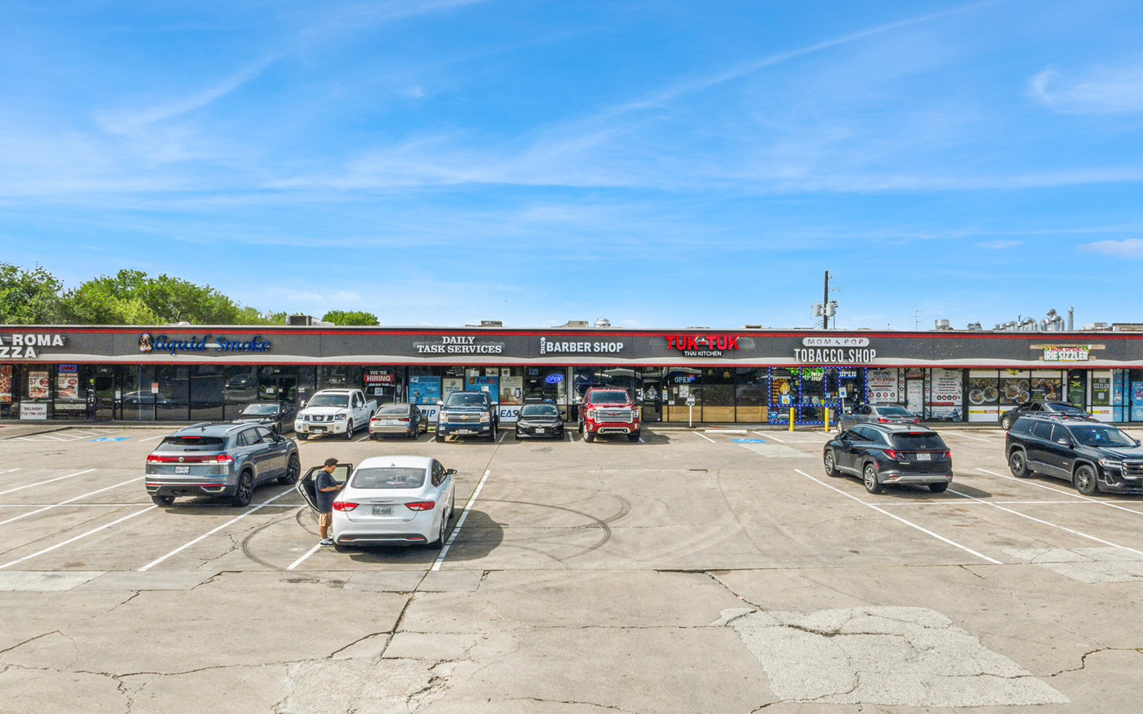
Applied to every single photo in your package. Dark, gloomy, or overcast skies are carefully replaced with bright, natural-looking blue skies that completely change the tone of a photo. Included free on every order we deliver.
View Blue Sky Samples »Hosted Property Gallery
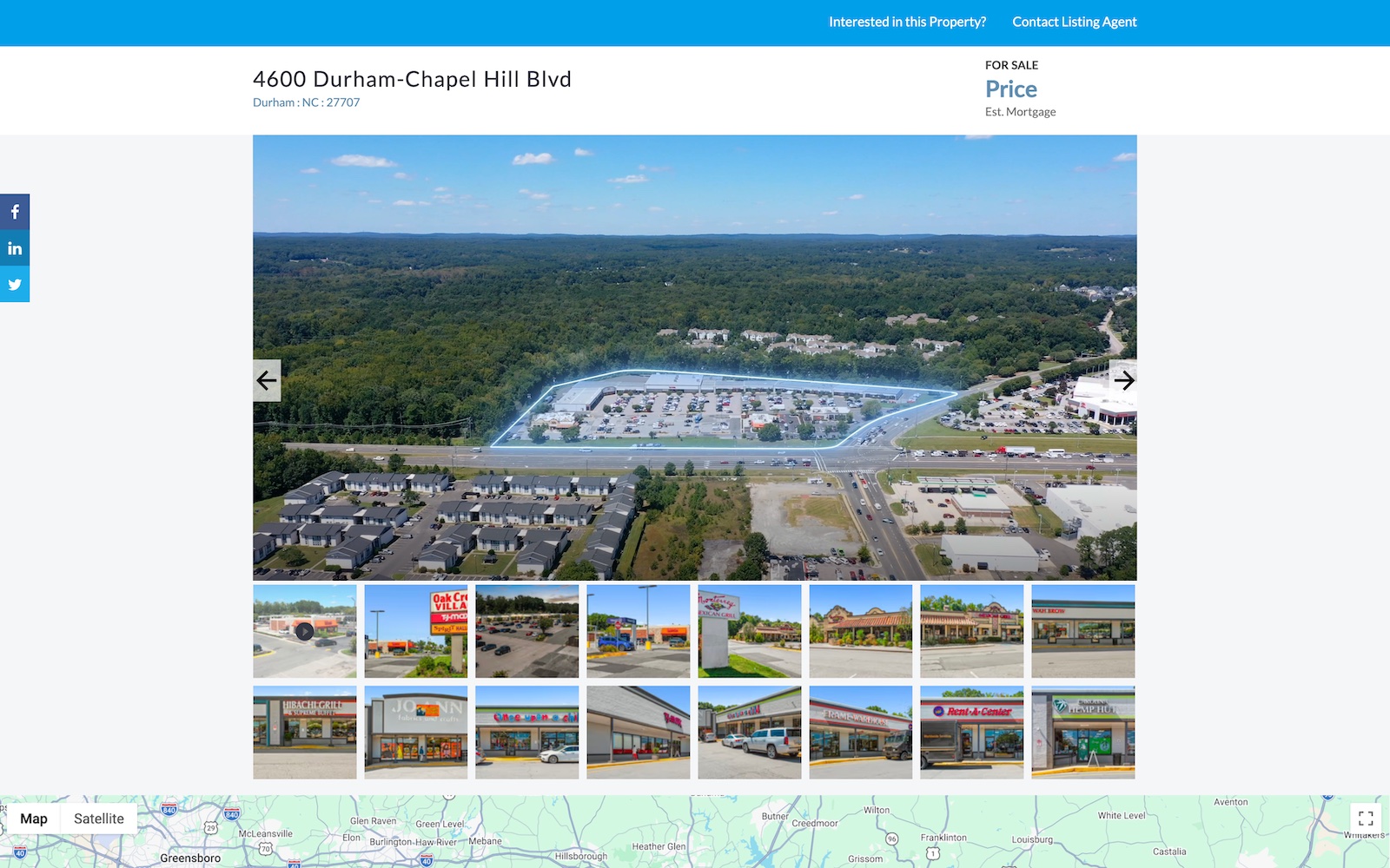
Every order includes a free hosted property gallery. One branded version with your logo and contact info, one unbranded version that is 100% MLS compliant. These pages are completely optional. You can always download the high-resolution photos and video directly.
View Gallery Sample »Our Customer Feedback Is Pouring In!
And they couldn’t be more pleased!
Commercial Land Photography Pricing
Flat-rate pricing nationwide. Same cost whether you are in Manhattan or rural Montana. No travel fees. Instant online ordering.
Ground and Aerial
Blue sky replacement included
1 free Virtual Twilight
Free hosted gallery included
Ground and Aerial
Blue sky replacement included
1 free Virtual Twilight
Free hosted gallery included
Royalty-free music included
Property outline overlays
Branded and unbranded versions
Why Choose DroneVideos.com for Commercial Land Photography?
DroneVideos.com is a commercial real estate photography and videography company serving brokers, developers, owners, and operators nationwide. We are FAA certified and fully insured. Our CEO reviews every project before delivery to ensure it is 100% perfect.
- FAA certified and fully insured on every shoot
- All 50 states covered, zero travel fees
- Photos in 3 business days, video in 5
- Blue sky replacement on every photo, free
- 1 free Virtual Twilight with every package
- Branded and unbranded MLS-compliant versions
- Free hosted gallery with every order
- Full copyright ownership on all deliverables
- You do not need to be present
- 100% money-back guarantee and 24/7 support
AI Property Showcase: No On-Site Visit Required
This is a completely separate product from our on-site photography packages above. No photographer visit, no drone shoot, no scheduling needed.
Need a marketing video without scheduling a shoot? Our AI Property Showcase delivers a fully virtual, narrated property video for any land parcel listing, with no on-site work required. Just send us a property flyer, offering memorandum, or existing listing link and we handle everything.
100% Virtual. No Scheduling Required
Eliminate on-site shoots entirely. The AI Property Showcase uses advanced virtual mapping to create aerial footage, surrounding points of interest, and detailed property visuals.
Professional Voiceover Included
Every video includes a professional voiceover created in-house. No script required from you. Narration highlights property details, nearby amenities, traffic routes, and demographics.
Works for Any Property Type
Industrial land, commercial sites, residential tracts, solar land, campgrounds, and every other land type: the AI Property Showcase works for any commercial asset class.
Scalable for Portfolios
Our virtual solution scales effortlessly. No pilot scheduling, no weather delays, no travel. Order an entire portfolio from your desk.
Frequently Asked Questions
Browse answers to our FAQs below, or reach out to us at 1-800-303-1783 or visit our Contact Us page.
Commercial Real Estate Photography: All Property Types
We specialize in every major commercial asset class. Explore our dedicated photography pages below.
Browse all delivered samples by US state ›
Commercial Real Estate
Overview of all commercial property types, packages, and pricing.
View All Commercial Photography ›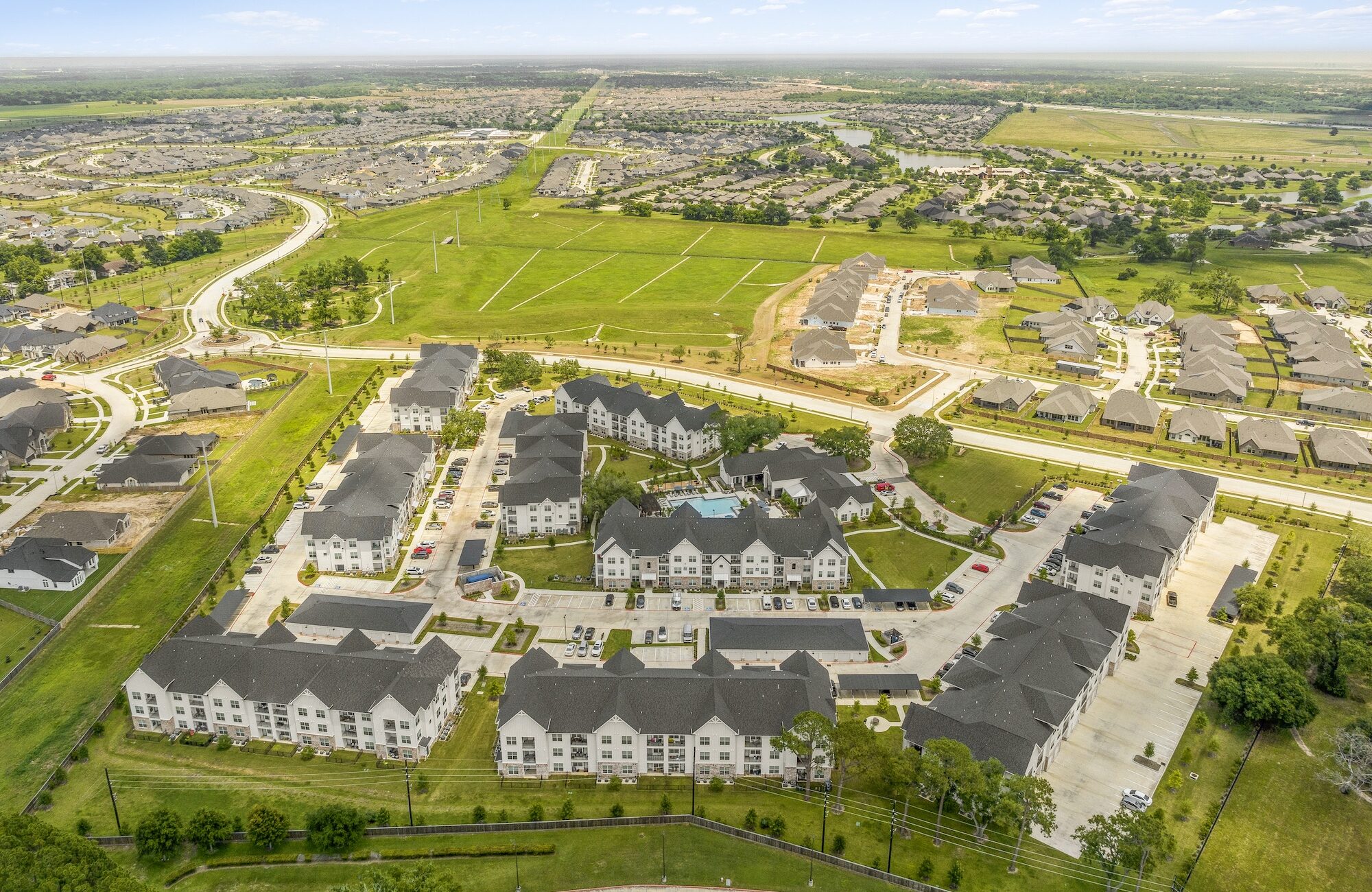
Multi-Family
Garden apartments, mid-rise, high-rise, luxury, and workforce housing.
View Multi-Family Photography ›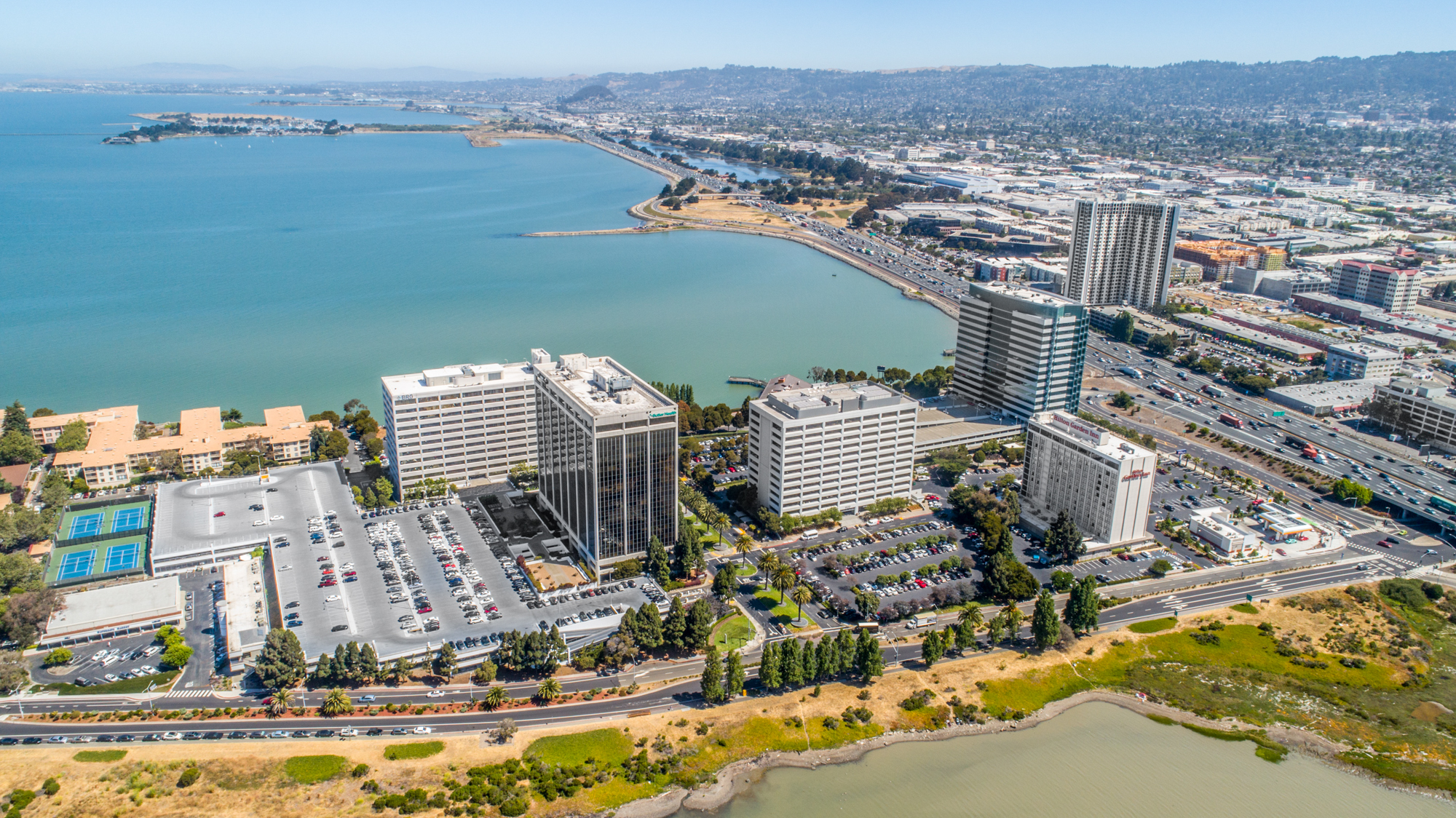
Office Buildings
Single-tenant, multi-tenant, suburban campus, and urban high-rise.
View Office Photography ›
Industrial
Distribution centers, warehouses, manufacturing, and flex industrial.
View Industrial Photography ›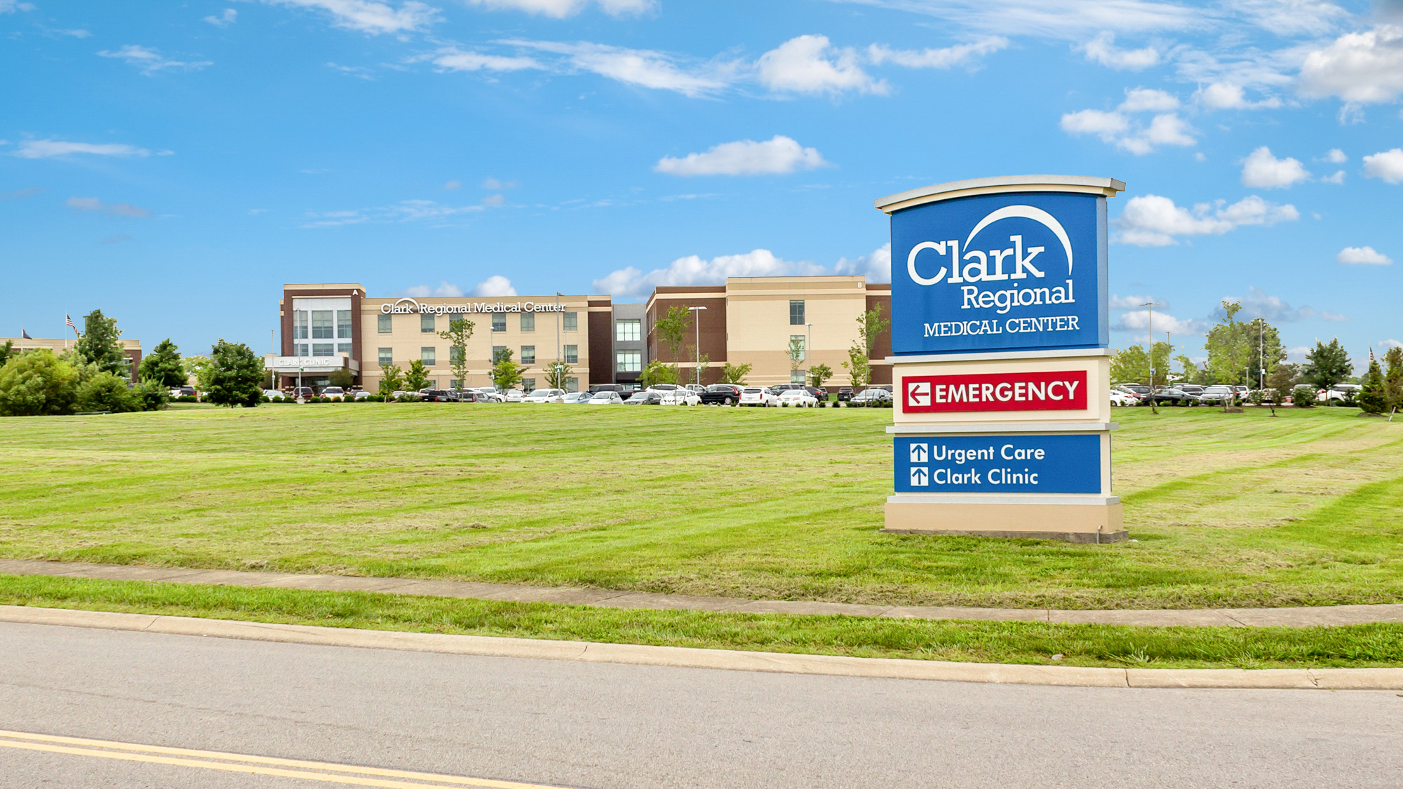
Healthcare
Hospitals, MOBs, outpatient clinics, urgent care, and senior living.
View Healthcare Photography ›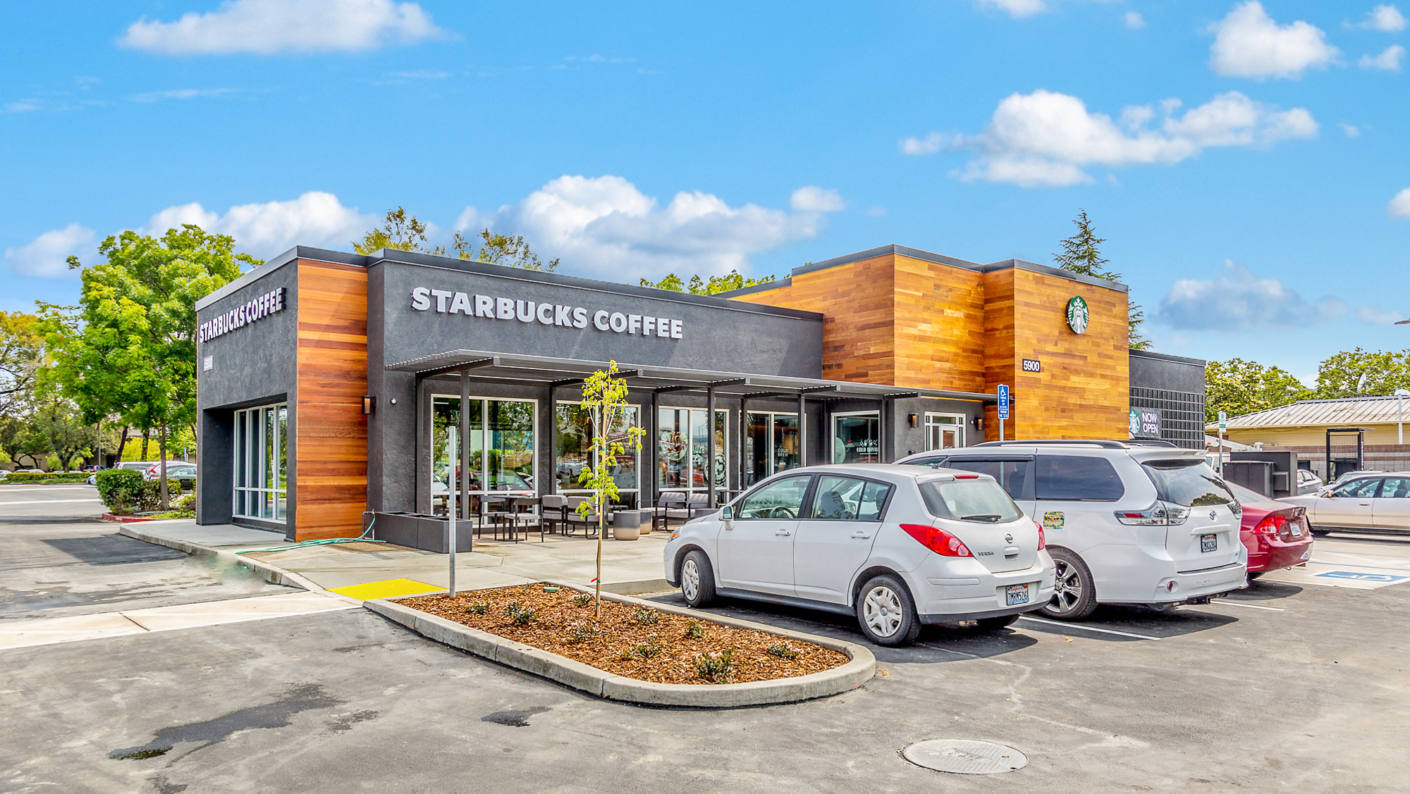
Single-Tenant Retail
QSR, NNN properties, convenience stores, medical retail, and auto dealers.
View Single-Tenant Photography ›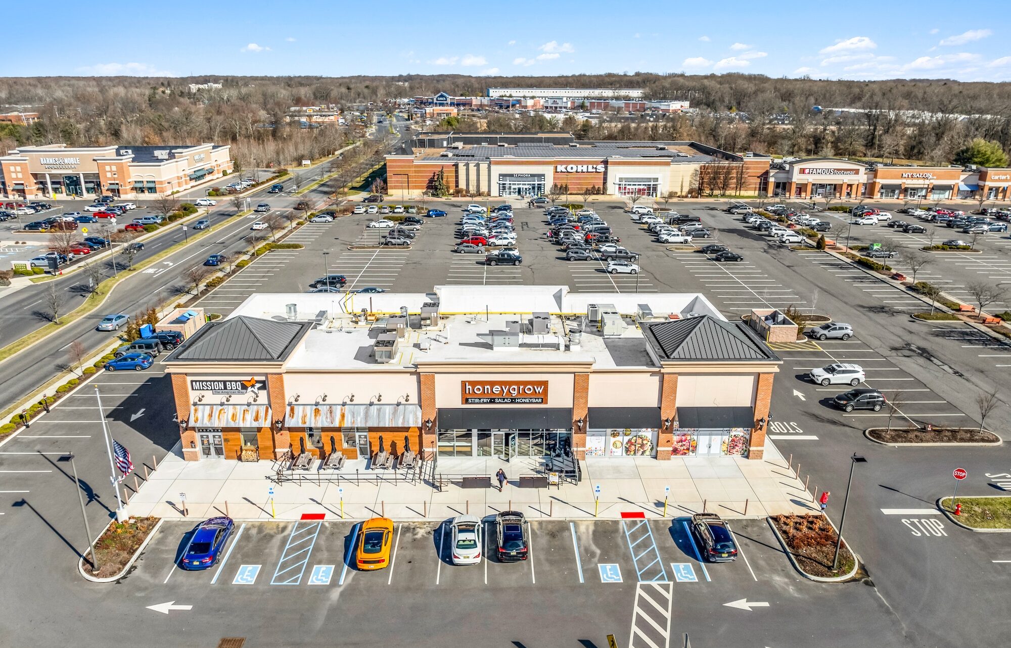
Multi-Tenant Retail
Grocery-anchored centers, big-box retail, power centers, and strip centers.
View Multi-Tenant Photography ›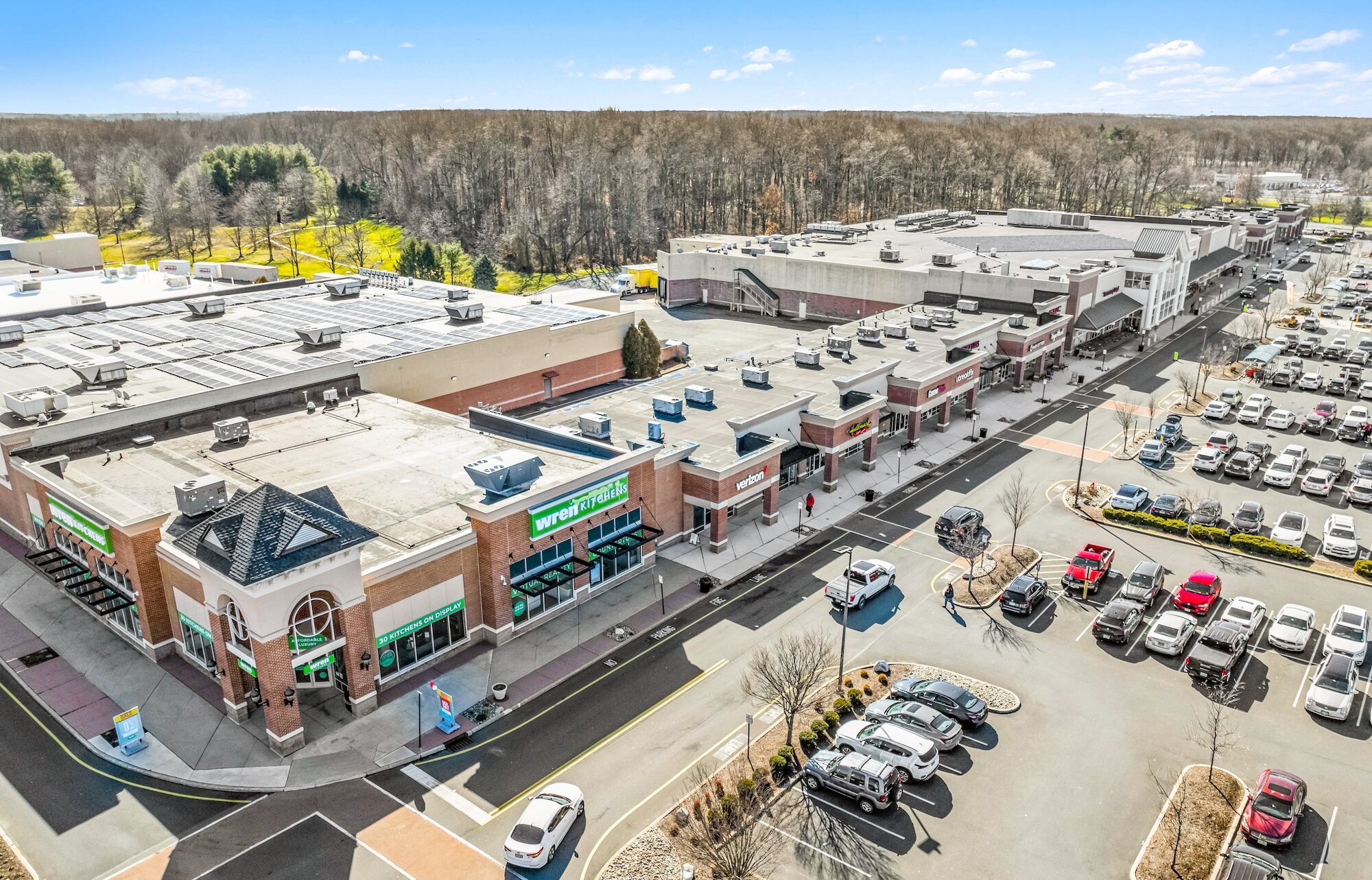
Shopping Centers
Neighborhood, lifestyle, outlet, and open-air retail centers.
View Shopping Center Photography ›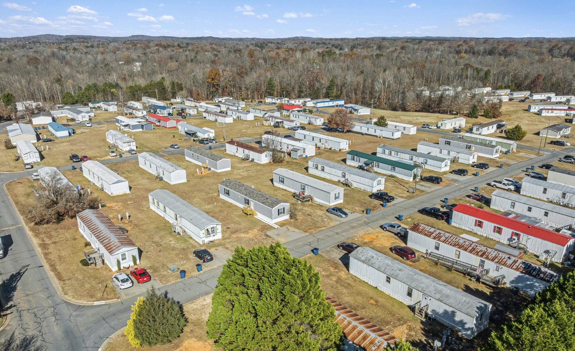
Mobile Home Communities
All-age, 55-plus, investor-owned, suburban, and rural MHC.
View MHC Photography ›